

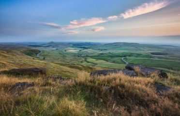
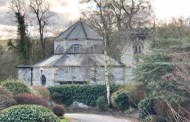
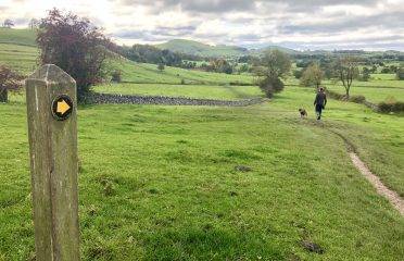
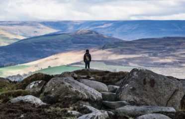
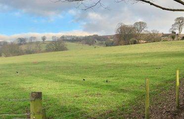
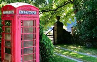
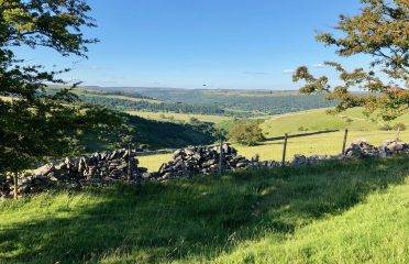
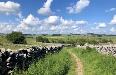
Walks by Map within the Peak District
Discover scenic walks and hiking routes throughout the beautiful Peak District National Park. Find trails for all abilities and interests.

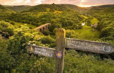
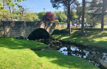
Ashford in the Water via Monsal Dale Walk
Distance: 6 miles Time: 3-4 hours Terrain: Field paths, woodland trails, country lanes
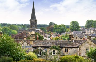
Bakewell via Ashford-in-the-Water Walk
Distance 5.7 miles Time 2-3 hours Terrain Grassy footpaths and country lanes
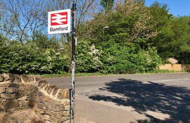
Beautiful Bamford and Ladybower Reservoir Walk
Distance: 4.6 miles Time: 1-3 hours Terrain: Country lanes, grassy footpaths and trails

Beautiful Dove Stone Reservoir Walk
Distance 4.1 miles Time 2-3 hours Terrain Full Route: field paths, hill trails and well-made tr

Beautiful Dovedale Walk via Hall Dale and Ilam
Distance 6 miles Time 3-4 hours Terrain Country lanes, field paths, woodland paths and trails

Beeley and Hell Bank Plantation Walk
Distance 3 miles Time Approx 2 hours Terrain Field paths, woodland trails, quiet lanes
Bradfield via Dale Dike Reservoir Walk
Distance 5.3 miles Time 3-4 hours Terrain Country lanes, woodland paths and trails
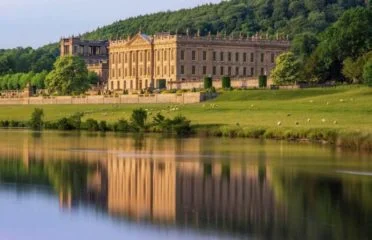
Chatsworth and Edensor Walk
Distance 3.8 miles Time 1-2 hours Terrain Country lanes, field paths, some rocky, uneven terrai
Combs Moss Walk
Distance: 8¾ miles Time: 4¼ hours Terrain: Good track but can be boggy and eroded. Some awkward st
Dales of the River Dove Walk
Distance: 8 miles Time: 5-6 hours Terrain: Mixed, hill trails and grassy paths
Derwent and Howden Reservoirs Walk
Distance: 10.3 miles Time: 3-4 hours (walk); 1 hour (bike ride) Terrain: A mix of country lanes
Dragon’s Back Walk
Distance 3.9 miles Time 3-4 hours Terrain Hill paths, field tracks and country lanes
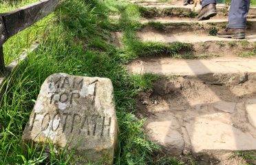
Edale Walk to Mam Tor
Distance: 7.5 miles Time: 5-6 hours Terrain: Hill trails, grassy footpaths, country lanes
Eyam via Stoney Middleton Walk
Distance 5.5 miles Time 3-4 hours Terrain Country lanes and trails

Froggatt Edge, Curbar Edge and Baslow Edge Walk
Distance 8 miles Time 4-5 hours Terrain Hill trails, village lanes, woodland paths
Hartington Dales Walk
Distance 5.4 miles Time Approx 3-4 hours Terrain Field paths, woodland trails, quiet lanes
Hathersage and Stanage Edge Walk
Distance: 6.6 miles Time: 3-4 hours Terrain: Grassy footpaths, country lanes, some rocky, uneven t

Hathersage via Longshaw Walk
Distance: 8.7 miles (14 km) Time: 3-4 hours Terrain: Well-made tracks, short stretches of road,

Hathersage via Stanage Edge and Higger Tor
Distance: 12 miles Time: 7-8 hours Terrain: Mixed, hill trails, rocky paths
Hathersage Fairy Woods Walk
Distance: 2 miles Time: 30-45 mins Terrain: Field paths, woodland trails, country lanes
Gentle Grindleford from Hathersage Walk
Distance: 6 miles Time: 3-4 hours Terrain: Well-made tracks, undulating, short stretches of roa

High Peak Trail via Minninglow Hill Walk
Distance: 3 miles Time: 1-2 hours Terrain: Trails, woodland paths and country lanes

Hope Village to Hope Cross Walk
Distance: 6.7 miles Time: 4-5 hours Terrain: Country lanes, grassy footpaths and hill trails
Kids Walk: Padley Gorge
Distance 2 miles Time Approx 2 hours Terrain Woodland trails, uneven, ascents and descents, qui

Kids’ Walk: Robin Hood’s Stride
Distance 2.7 miles Time 2-3 hours Terrain Field paths and country lanes
Kids’ Walk: Stanage Edge Walk
Distance 2.2 miles Time Approx 2 hours Terrain Hill tracks, rocky, uneven, ascents and descents,
Kids’ Walk: Three Shires Head
Distance 3.8 miles Time 3-4 hours Terrain Grassy footpaths and country lanes
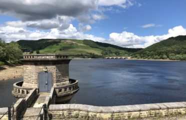
Ladybower Reservoir Walk
Distance: 5 miles Time: 1-2 hours Terrain: Well-made tracks and quiet pavements, gently undulat
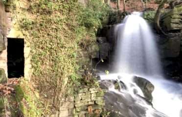
Lumsdale Falls and Bentley Brook Walk
Distance 2.5 miles Time 1-2 hours Terrain Country lanes, field paths, some uneven terrain

Monyash and Lathkill Dale Walk
Distance 4 miles Time Approx 2 hours Terrain Field paths and quiet lanes, very rocky and uneven

Grindleford Train Station Walk
Distance: 4.5 miles Time: 3-4 hours Terrain: Woodland paths, grassy footpaths and moorland trails
Shining Tor and Goyt Valley Circular Walk
Distance 7.6 miles Time 4-5 hours Terrain Moorland trails and grassy paths
Stoney Middleton via Coombs Dale Walk
Distance: 4.75 miles Time: 2 hours Terrain: Grassy footpaths and country lanes

Stunning Castleton Circular Walk
Distance: 5.5 miles Time: 3-4 hours Terrain: Hill paths and trails, country lanes
Secret Side of Ladybower Walk
Distance 8.1 miles Time 5-6 hours Terrain Well-made tracks, hill paths, some pavement
Tideswell Walk via Miller’s Dale
Distance 6 miles Time 3-4 hours Terrain Field paths and country lanes

Tissington Walk via Parwich
Distance 4 miles Time 1-2 hours Terrain Country lanes, field paths, trails
Wetton Mill via the Manifold Way Walk
Distance: 5 miles Time: 4-5 hours Terrain: Rural tracks and country lanes, grassy footpaths
Wyming Brook Walk
Distance 1.7 miles Time Approx 1 hour Terrain Uneven woodland trails, stepping stones, quiet l

Youlgrave via Lathkill Dale
Distance 7.6 miles Time Approx 3-4 hours Terrain Field paths and quiet lanes, rocky and uneven

 c/o The Manse, Oddfellows Road, Hathersage