


Accessible Peak District Walks
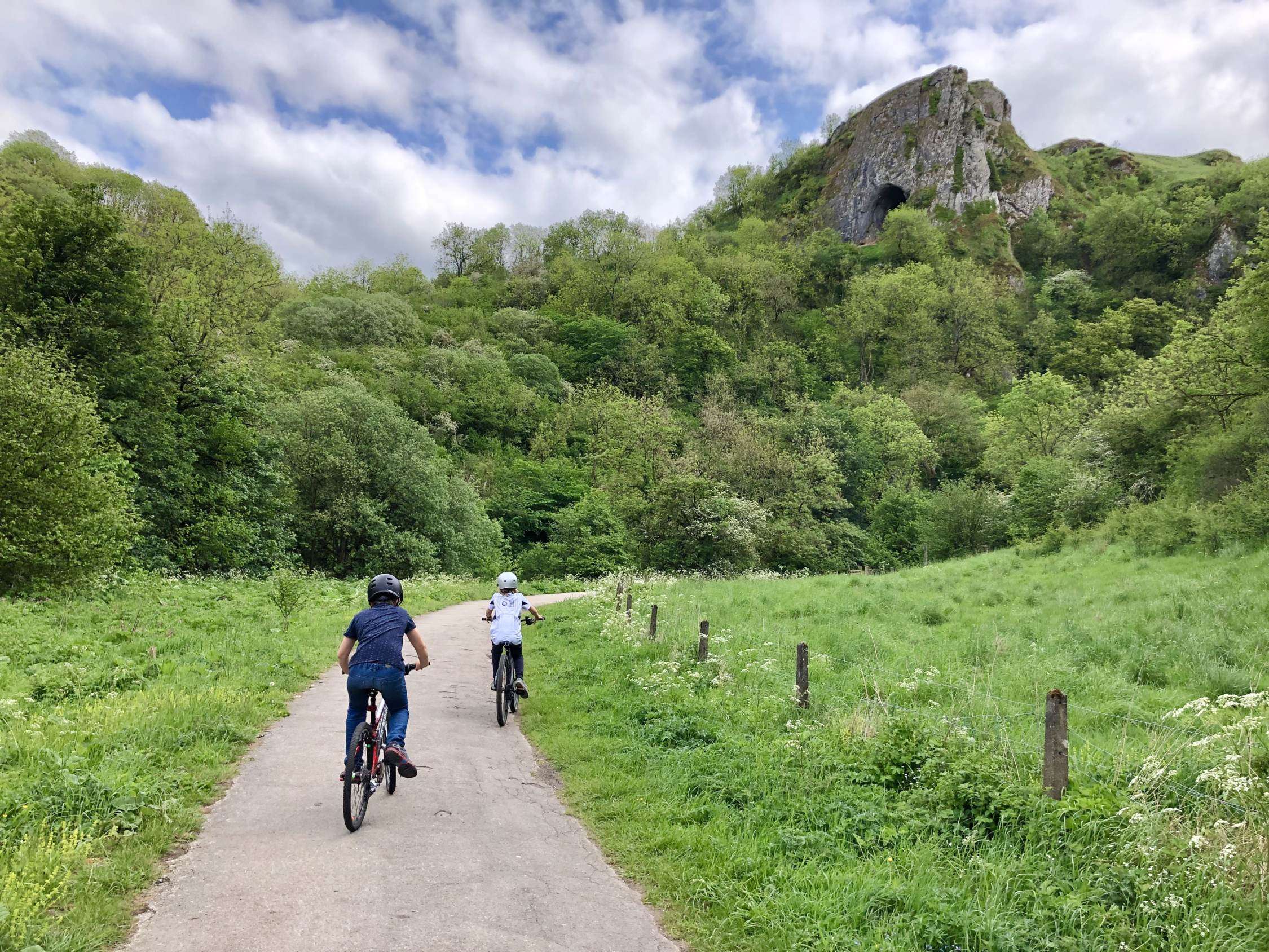
The Manifold Way
The Manifold Way The Manifold Way The Manifold Way is a (mostly) traffic-free trail that runs for 8 miles through the Staffordshire Peak District between Hulme End in the north and Waterhouses in the south. As the name suggests, it follows the course of the River Manifold through the Manifold Valley, and the valley of its tributary river, the River Hamps. The name ‘Manifold’ comes from the ‘many folds’ of the river, as it meanders along the valley floor. Interestingly, the River Manifold disappears underground via sinkholes south of Wetton Mill and only reappears in the grounds of Ilam Hall, approximately 5 miles away. The River Hamps also flows underground...
Read More
The Tissington Trail
The Tissington Trail The Tissington Trail. In 1899 the railway line between Buxton and Ashbourne opened, operated by the London and North Western Railway. It was the last railway to be built in the Peak District. The line closed in the 1960s and the land was purchased by the Peak District National Park in 1971 to transform it into a traffic-free trail for walkers, riders and cyclists. The Tissington Trail now runs for 13 miles from Parsley Hay in the north to Ashbourne in the south. The Tissington Trail is joined by the 17 mile long High Peak Trail at Parsley Hay, making an extensive route that is part of...
Read More