


Accessible Peak District Walks

Let's Explore 5-10 miles Accessible Walks Derbyshire Walks Peak District Bike Rides Peak District Walks
Ladybower Reservoir Walk (5.5 miles)
Ladybower Reservoir Walk a great circular of 5.5 miles, a walk around Ladybower Reservoir, this walk is suitable for Ladybower walks pushchair circular walk.
Read More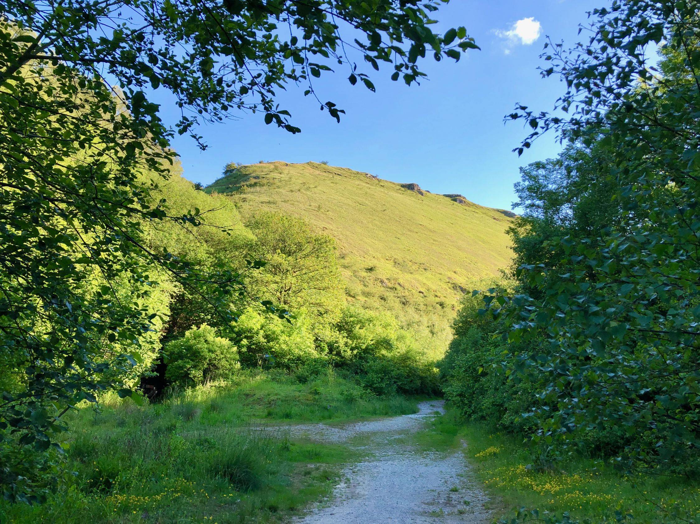
Stoney Middleton via Coombs Dale (4.75 miles)
Coombs Dale Walk Details Distance: 4.75 miles Time: 1-2 hours Terrain: Grassy footpaths and country lanes Accessibility: Easy - gates, no stiles or squeeze stiles, some uneven terrain on field paths Start and end grid reference: SK 23560 75068; Nearest Postcode S32 4TB; ///lunging.ruling.agreeing Downloads: Printable PDF of route The Coombs Dale Walk This lovely circular walk takes you into a hidden, secret valley, Coombs Dale, one of the lesser known Peak District dales, and a place where you’re almost guaranteed peace and quiet. It follows well-made paths to Black Harry Gate, once the hunting ground of a notorious highwayman, before returning along country lanes and field paths to the...
Read More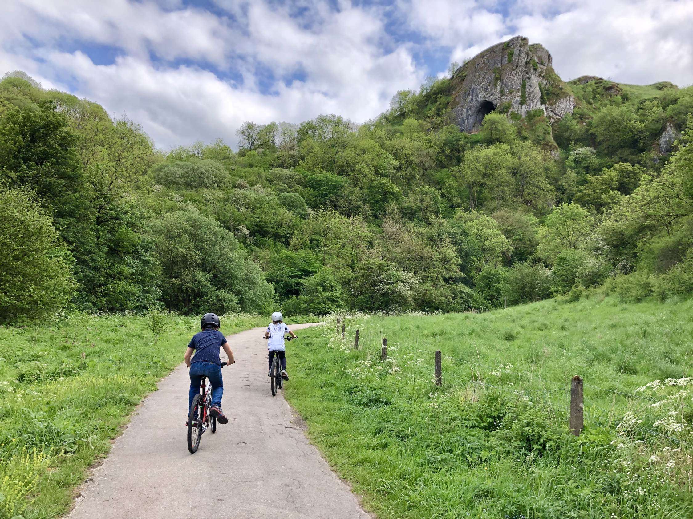
The Manifold Way
The Manifold Way The Manifold Way The Manifold Way is a (mostly) traffic-free trail that runs for 8 miles through the Staffordshire Peak District between Hulme End in the north and Waterhouses in the south. As the name suggests, it follows the course of the River Manifold through the Manifold Valley, and the valley of its tributary river, the River Hamps. The name ‘Manifold’ comes from the ‘many folds’ of the river, as it meanders along the valley floor. Interestingly, the River Manifold disappears underground via sinkholes south of Wetton Mill and only reappears in the grounds of Ilam Hall, approximately 5 miles away. The River Hamps also flows underground...
Read More