The Manifold Way
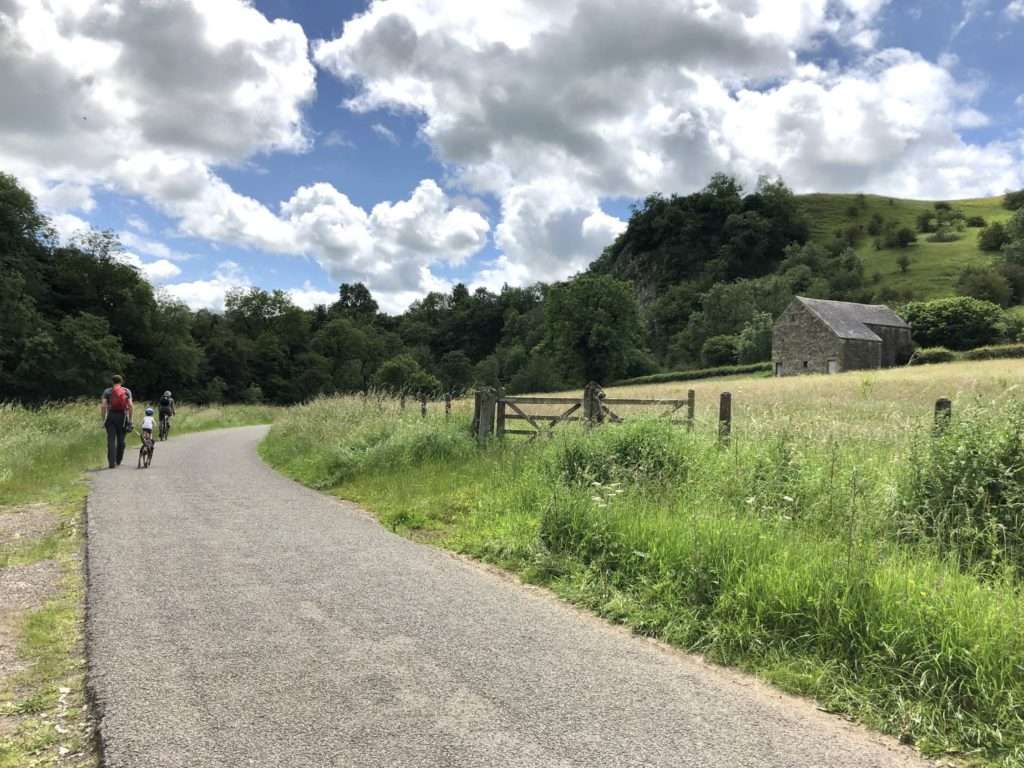
The Manifold Way is a (mostly) traffic-free trail that runs for 8 miles through the Staffordshire Peak District between Hulme End in the north and Waterhouses in the south. As the name suggests, it follows the course of the River Manifold through the Manifold Valley, and the valley of its tributary river, the River Hamps.
The name ‘Manifold’ comes from the ‘many folds’ of the river, as it meanders along the valley floor. Interestingly, the River Manifold disappears underground via sinkholes south of Wetton Mill and only reappears in the grounds of Ilam Hall, approximately 5 miles away. The River Hamps also flows underground through a series of caves and subterranean passages.
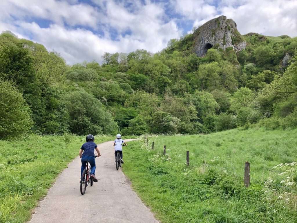
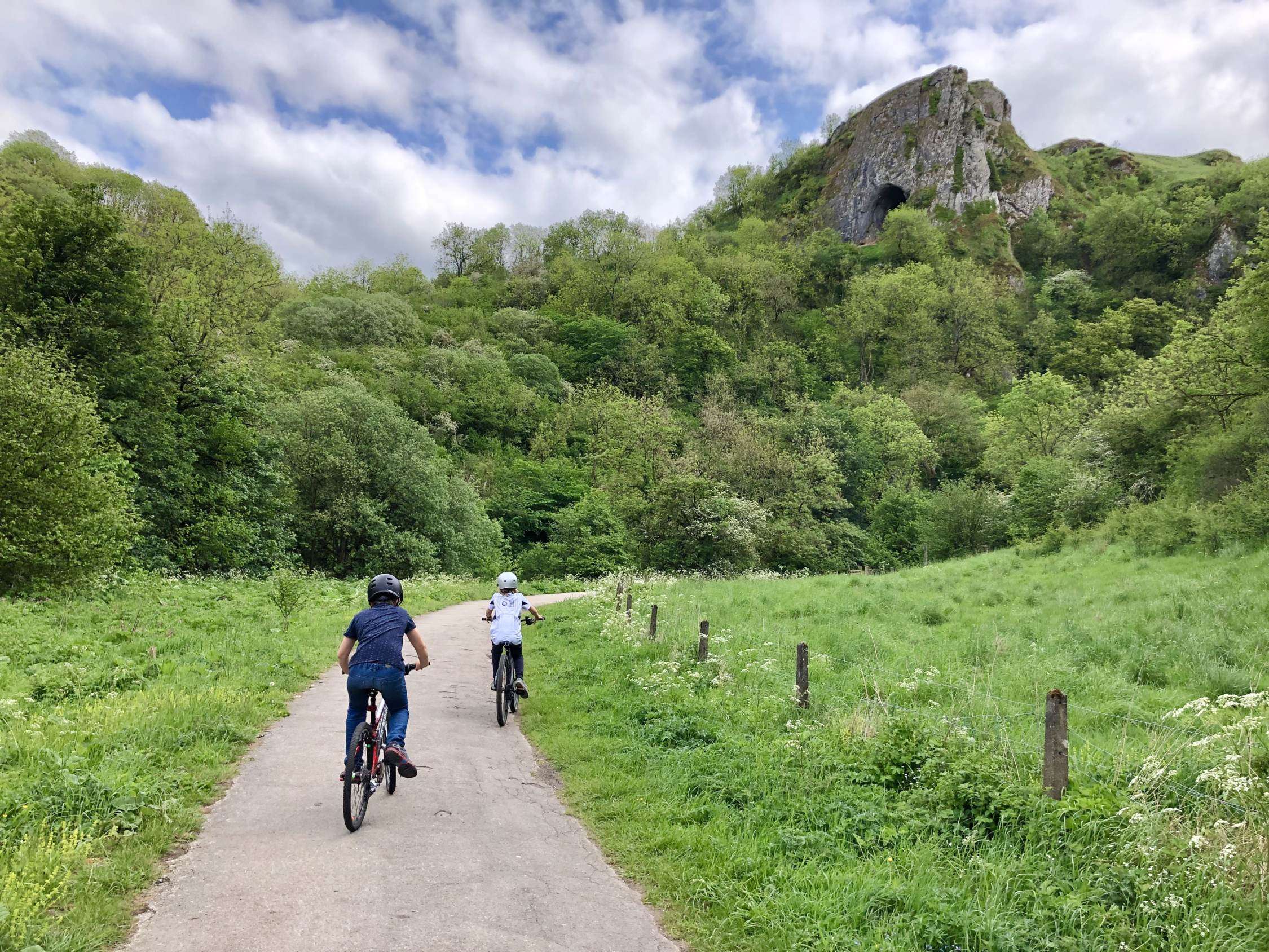
The Manifold Way is a perfect route for walking, cycling and riding. It is tarmacked with a well-maintained surface, which also makes it ideal for wheelchair users and those with prams or pushchairs. It passes through the most stunning White Peak countryside, characterised by towering limestone hills, lush woodland and meadows dotted with wildflowers. Note that the Manifold Way joins a single track B-road south of Ecton for approx a mile, so it is not entirely traffic-free.
What’s in a Name?
The Manifold Way is sometimes also called the Manifold Track, but is not to be confused with the much longer Manifold Trail, the latter being a walking route that runs for 23 miles between Dovedale and the village of Flash. The Manifold Way and the Manifold Trail share the same route for some distance, but the Manifold Trail is not (legally) accessible for cyclists and the terrain is rocky and uneven in places.
The Leek and Manifold Valley Light Railway
The Manifold Way follows the route of what was once the Leek and Manifold Valley Light Railway. This independent narrow-gauge railway ran from 1904 until 1934, and was known for the distinctive yellow locomotives that ran on the track, modelled upon those used in India. The line primarily acted as a service for milk trains and tourism. The Manifold Way was opened by Staffordshire County Council only 3 years after the closure of the railway, in 1937.
The Manifold Way does not pass through any notable villages; it was reportedly described by one of the railway workers as being ‘a line that starts in the middle of nowhere, and ends up in the same place’. The railway did serve a number of villages and hamlets along its route, although these are mostly all located about a mile above the valley floor. This fact likely contributed to the railway’s ultimate demise, but it also means that the Manifold Way today is a peaceful, secluded route.
Along the Way
At Hulme End the former station building has been restored as an interesting Visitor Centre, and is well worth exploring. Open most weekends and during school holidays, it contains information displays about the railway and a collection of memorabilia from the line, plus a range of souvenirs, guide books and maps. There is a small cafe available here too, housed in the former Engine Shed, as well as public toilets.

Soon after leaving Hulme End, look out for the site of the Ecton Creamery, which was responsible for most of the freight on the railway line. In the early 20th Century it was a hugely successful business, producing over 3 million litres of milk every year. Most of the milk from Ecton was destined for London, and the Ecton Creamery became so busy that in the early 1920s there were direct milk trains between London and Waterhouses.
Not long after the Creamery, the remains of Ecton Mine can be seen high up on the hillside. Owned by the Dukes of Devonshire, Ecton Hill has been mined for copper and lead since the 16th Century. The mining rights were leased out until 1760, when the fourth duke began working Ecton Mine for his own gains. By the early 1800s the mine was employing 400 workers and was said to be the richest individual copper mine in England, producing over 60,000 tons of ore. When the Mine closed in 1891 the Duke’s profits – apparently almost a third of a million pounds – financed the building of the Crescent in Buxton.
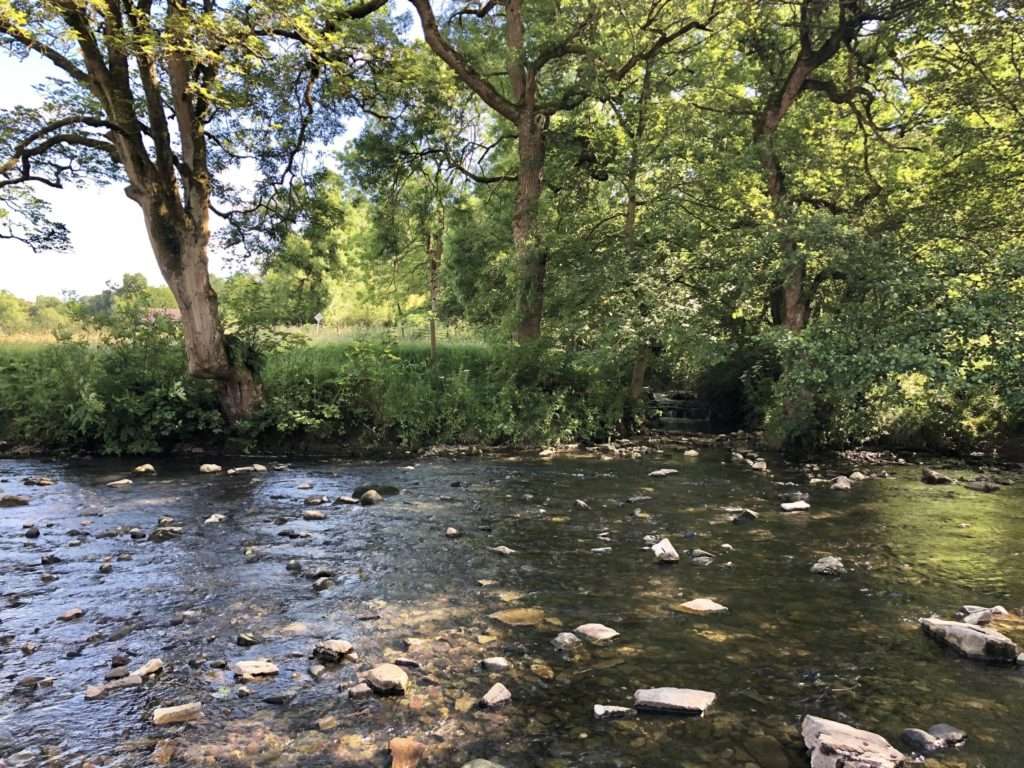
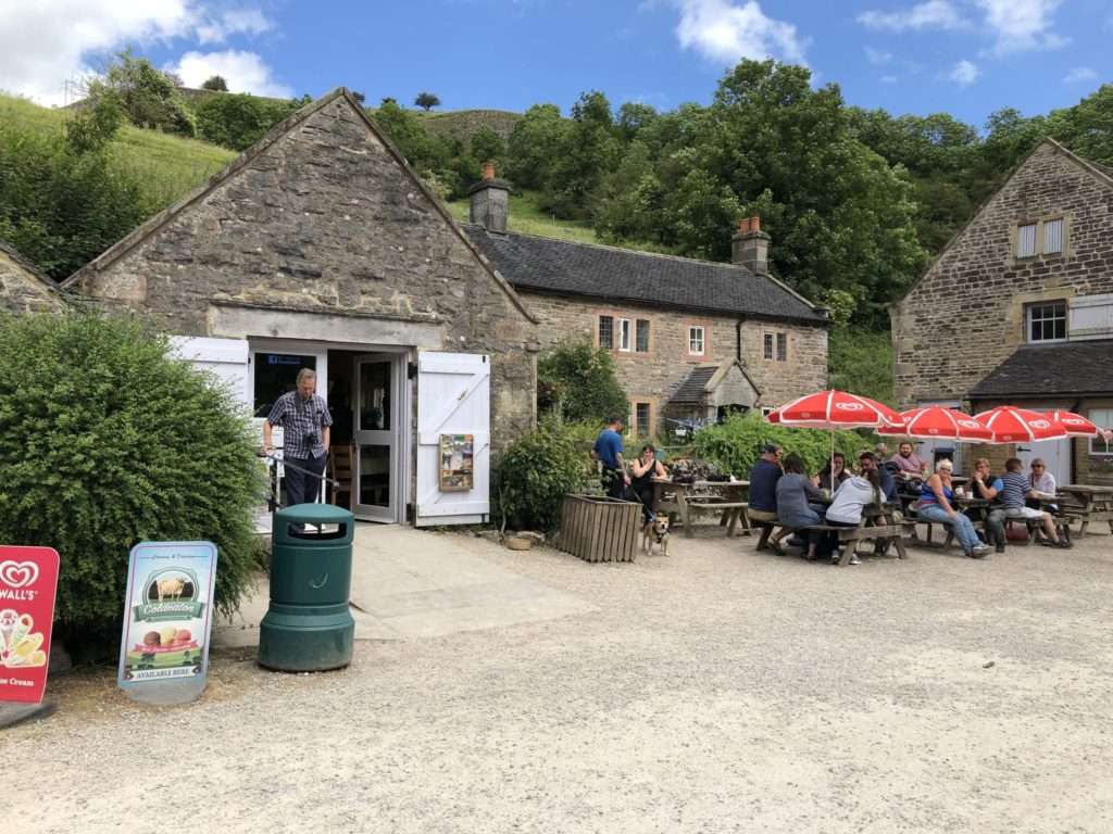
Wetton Mill was once a water mill used for grinding corn. It closed in 1857 but the remains of the mill stream and a grinding stone can still be seen. Today it makes for a perfect halfway stopping point on the Manifold Way. There are refreshments and toilets available at a little cafe, and beautiful riverside views for a picnic and a paddle.
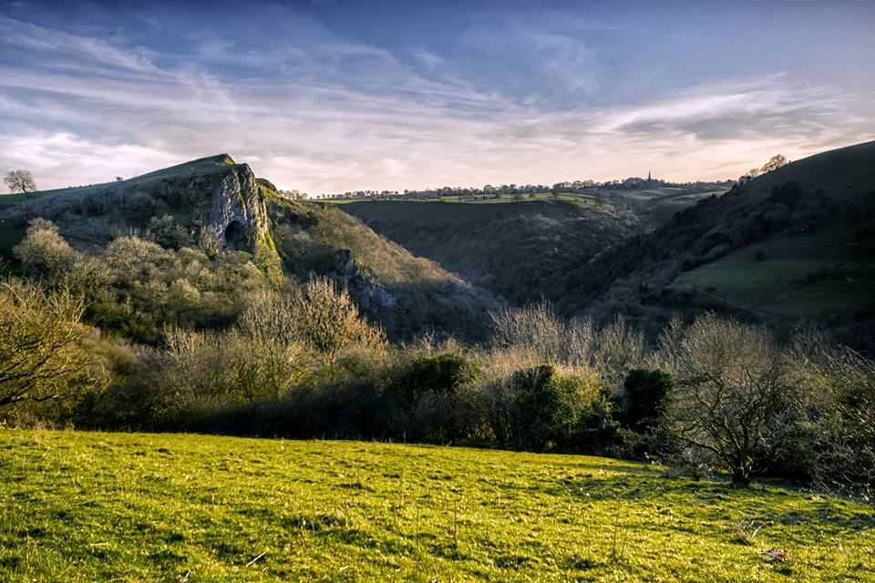
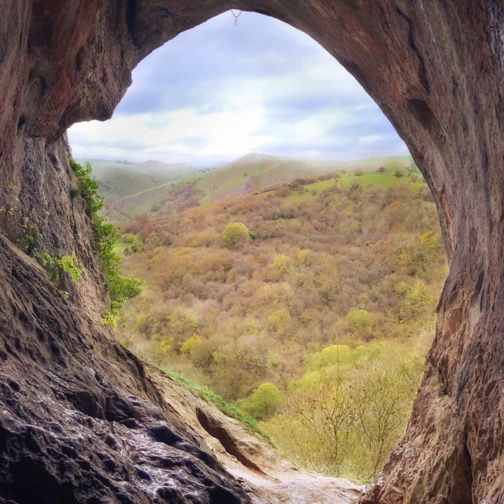
Just south of Wetton Mill look out for the yawning mouth of Thor’s Cave. This natural cavern is set in a steep limestone crag, with its huge arched entrance easily visible from the Manifold Way. It is possible to follow public footpaths up to the mouth of the cave and explore inside, but do be careful of the very steep, high, unguarded drops within.
Evidence has been found of human occupation of Thor’s Cave during the Stone Age, with use well into the Iron Age and Roman period. Past excavations have found stone tools, pottery, amber beads and bronze items in Thor’s Cave, as well as the burial sites of at least seven people.
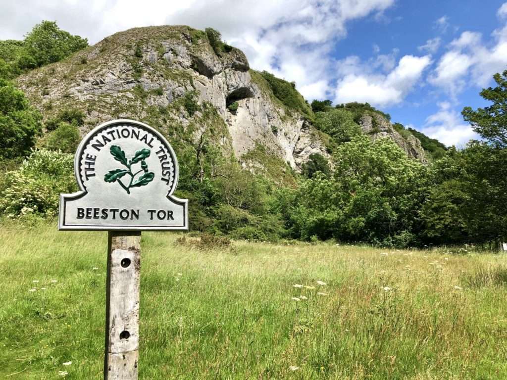
A little further along the route, another limestone rock face, Beeston Tor, offers dramatic scenery and is a popular destination for climbers. Excavations of the caves here have also found Neolithic and Bronze Age remains.
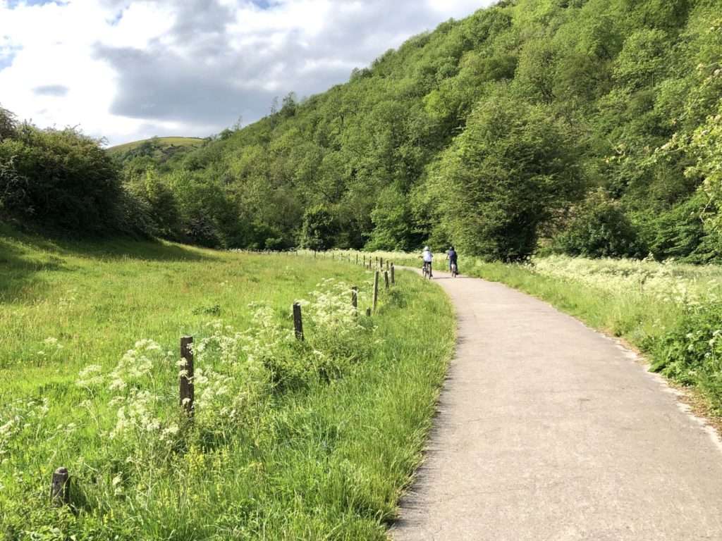
Finally, the Manifold Way tracks through the Hamps Valley, following the course of the often dry River Hamps through beautiful White Peak landscape and woodlands, before heading into the pretty village of Waterhouses.
Cycle Hire on the Manifold Way
Cycle Hire is available at both ends of the Manifold Way, within the Visitor Centre at Hulme End and also at Brown End Farm in Waterhouses. There are also car parks at both ends of the Manifold Way, and additional parking at Wetton Mill.
