Details: Dragon’s Back Walk
Distance 3.9 miles
Time 2-3 hours
Terrain Hill paths, field tracks and country lanes
Accessibility Steep ascents, very uneven terrain, step stiles, kissing gates, gates
Start and End Point Grid Ref SK 06517 66530 | Postcode SK17 0RH | /// playfully.king.summer
Map Ordnance Survey Explorer OL24
Introduction: Dragon’s Back Walk
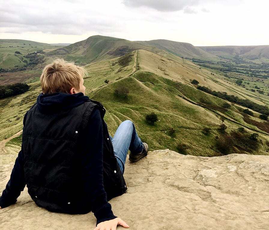
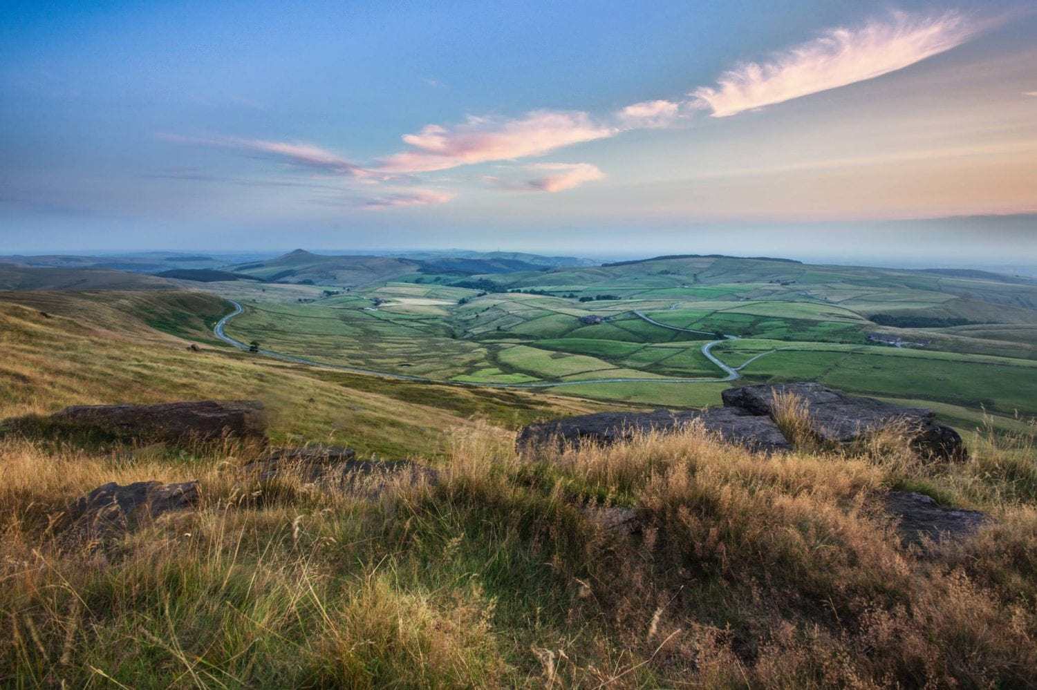
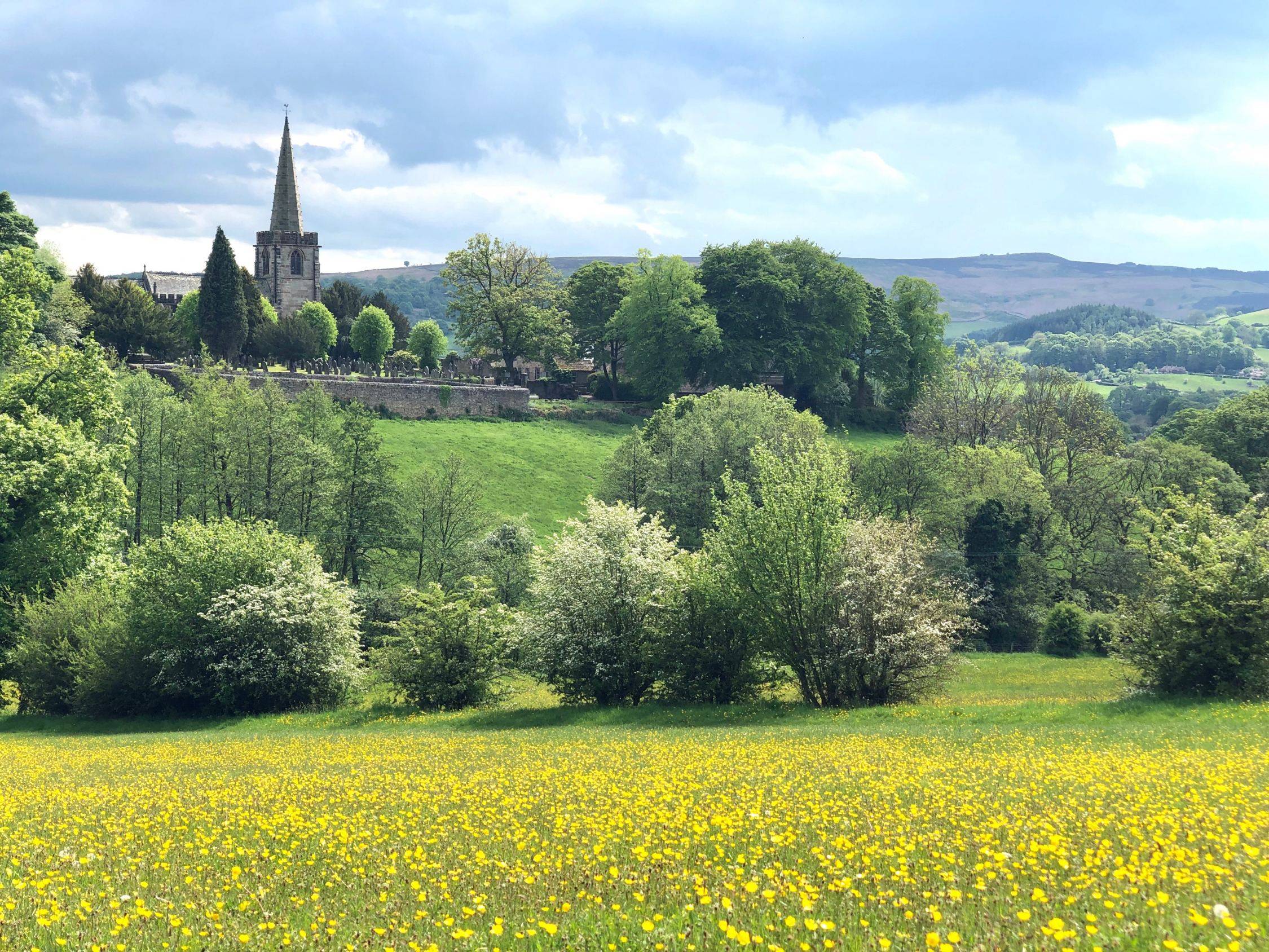
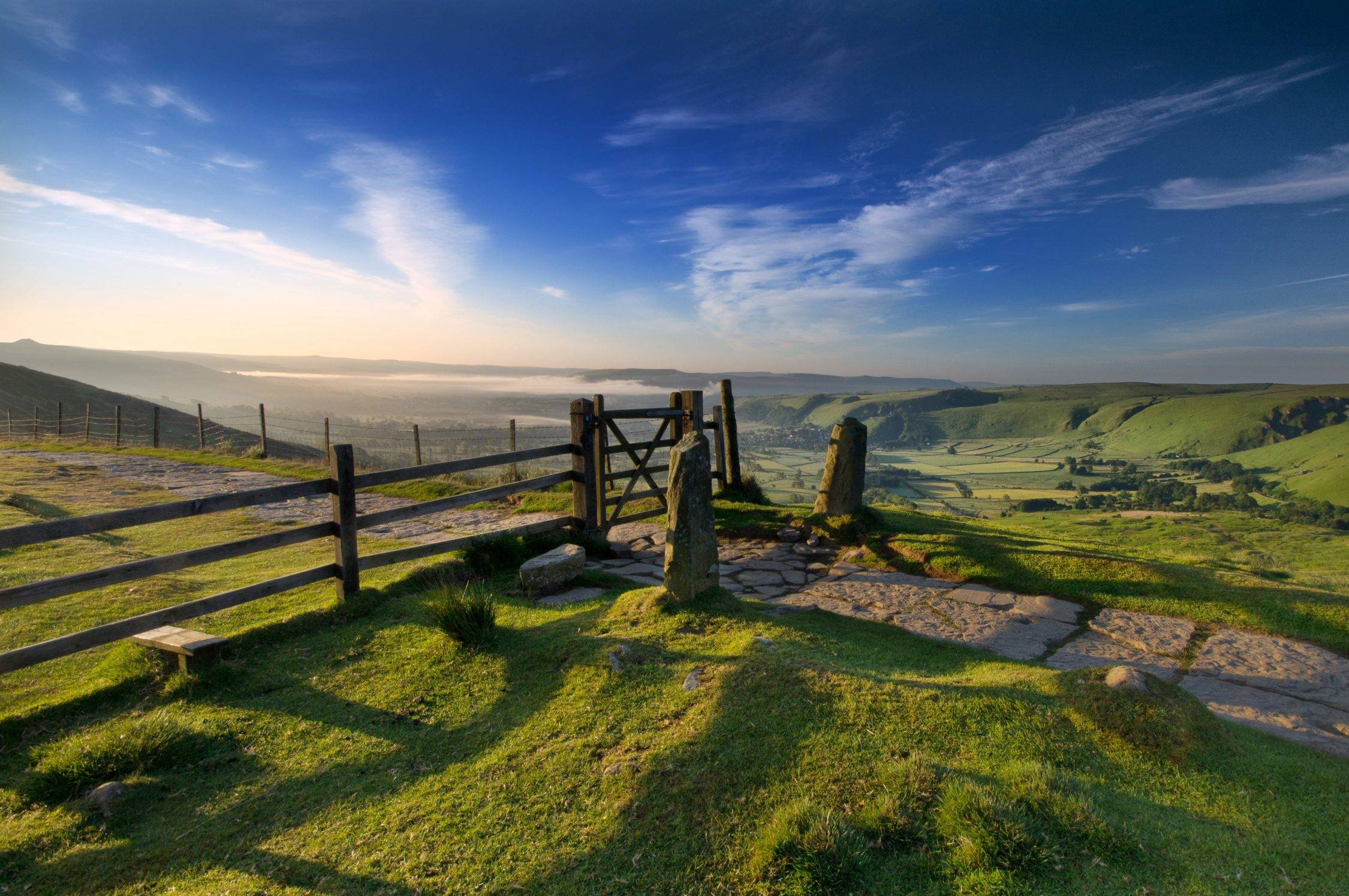
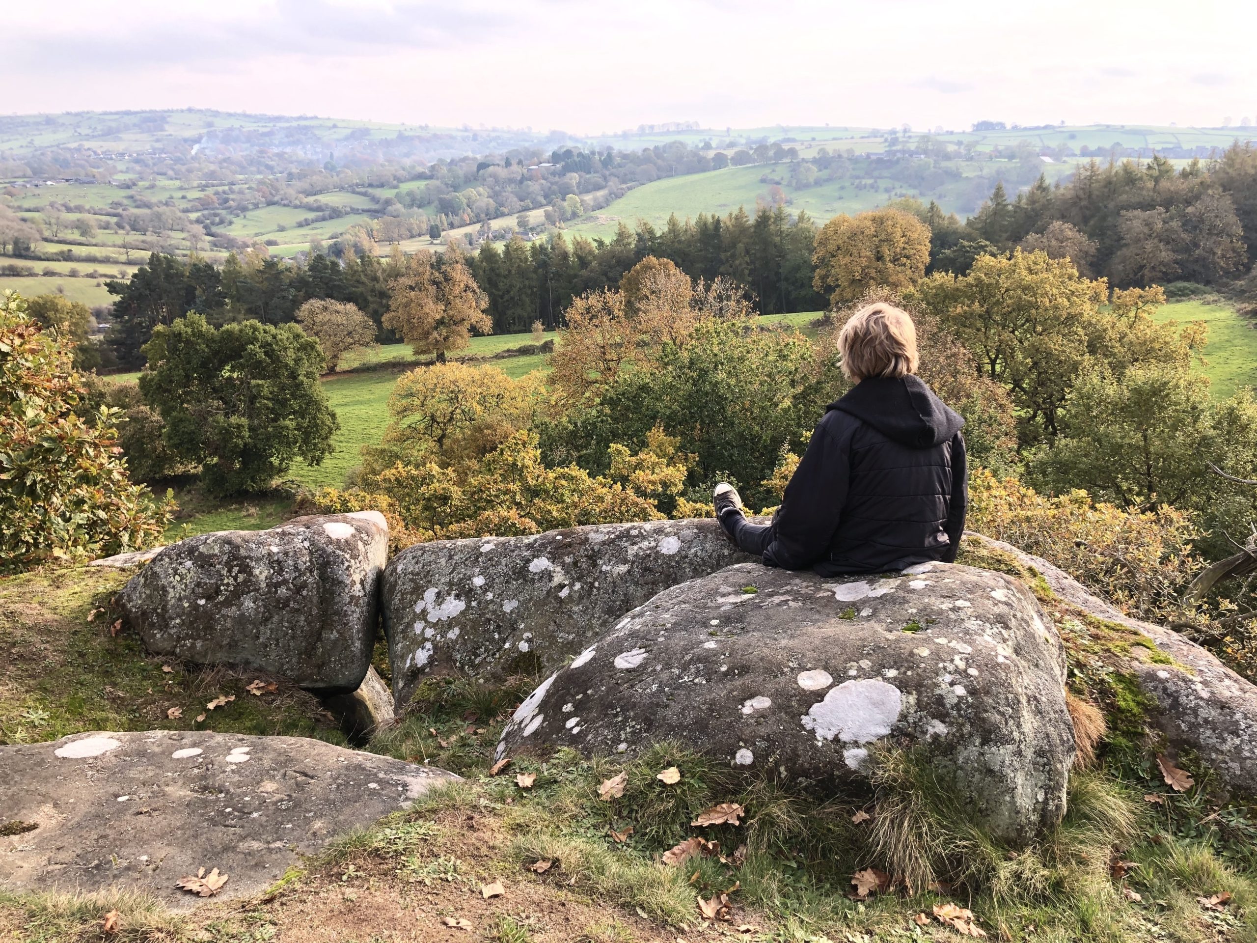
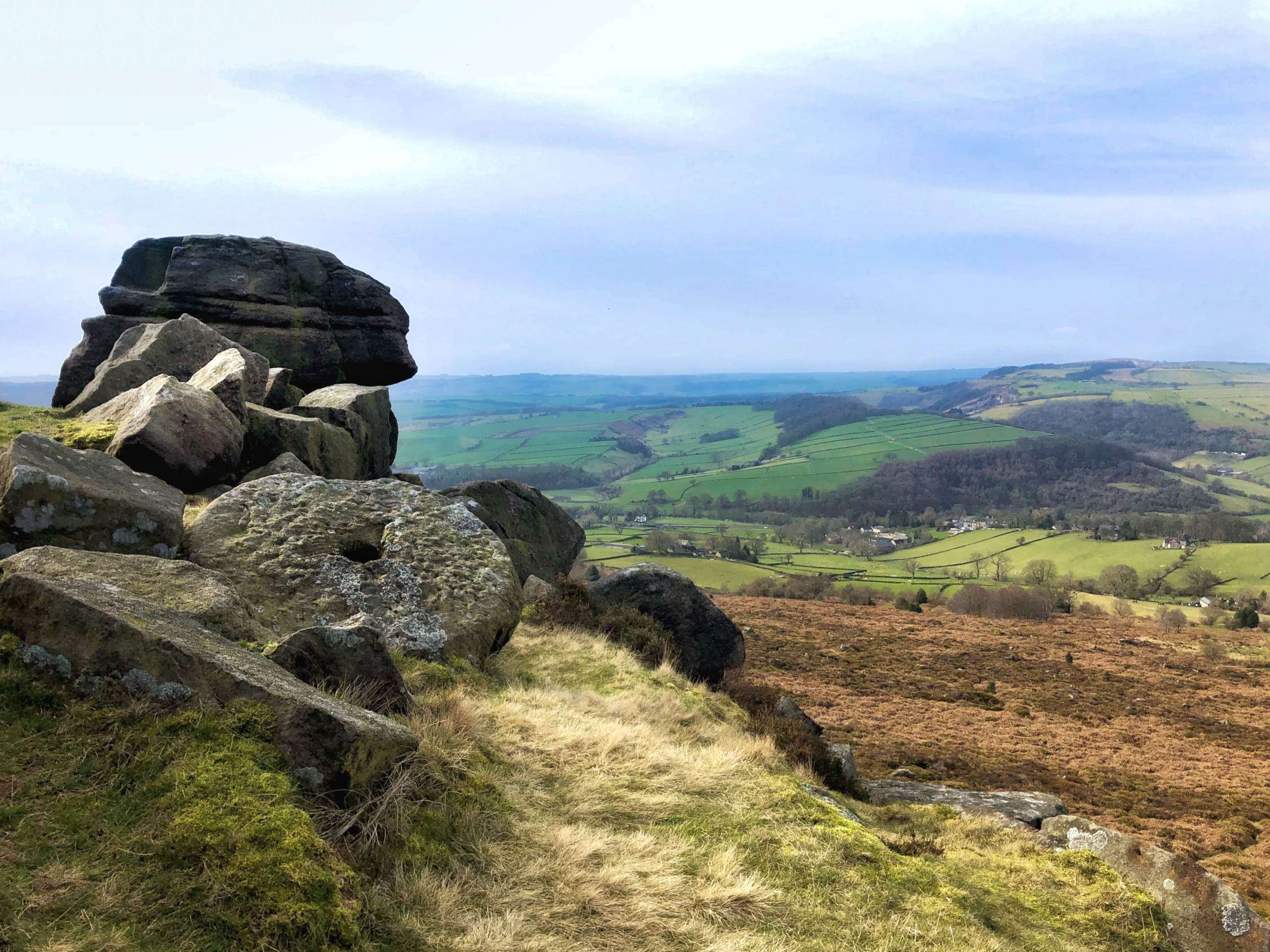
This wonderful walk starts and ends in the pretty little hamlet of Hollinsclough. To begin, it takes you along field paths and country lanes with magnificent views over the wild Staffordshire hills, dotted with farms and criss-crossed with stone walls. The route then brings you along the crest of one half of the famous ‘Dragon’s Back’, over the top of Chrome Hill (425m) with panoramic views over the wide valley, including a spectacular view of Parkhouse Hill ahead. You then descend on field paths and follow country lanes to return to Hollinsclough.
This is a walk of 3.9 miles. Be aware that the terrain is very challenging in places, especially on the top of Chrome Hill, with uneven rocks underfoot and steep ascents/descents. There are kissing gates and step stiles. There is free street parking in Hollinsclough at the start of the walk, but please note that this is a small hamlet and park with consideration for local residents. Allow around 2-3 hours to complete this walk at a moderate pace, with rest stops to take in the views.
Note: This route is provided in good faith and is correct at the time of publication. Please be aware that routes may be diverted over time as paths and access are altered, particularly in farming areas. Our directions should not be used instead of a map. You should always take a map with you to cross-reference the route.
Directions: Dragon’s Back Walk
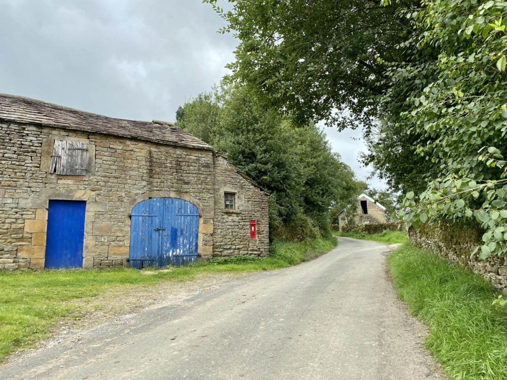
1. Park in the centre of Hollinsclough, preferably on the verge close to the telephone box that has been set aside for parking. From the centre of the village, walk in a north-westerly direction up Hollinsclough Rake, passing the Methodist chapel on your right hand side and a barn with its own post box on the left.
2. Immediately after passing a derelict barn on your right hand side, approx 200m out of the village, look out for a public footpath on your right and follow the obvious path across the side of the hill. This lovely path gives you wonderful views across to Chrome Hill and Parkhouse Hill on your right.

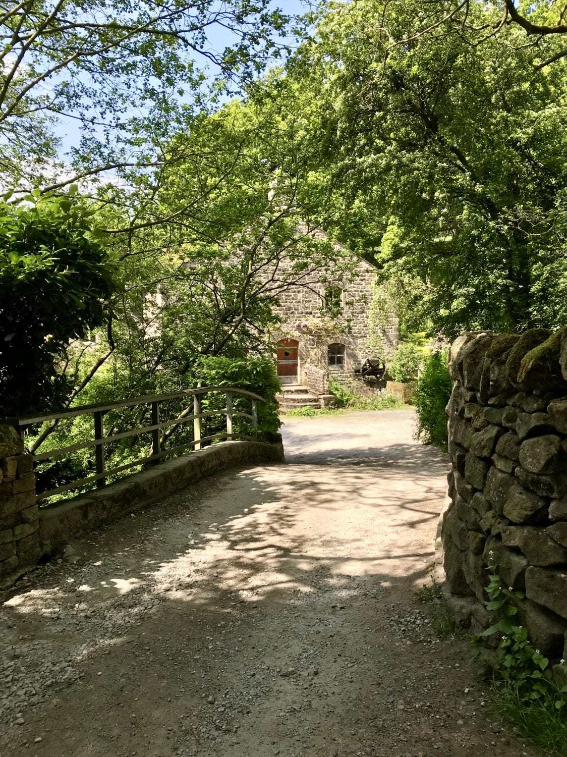
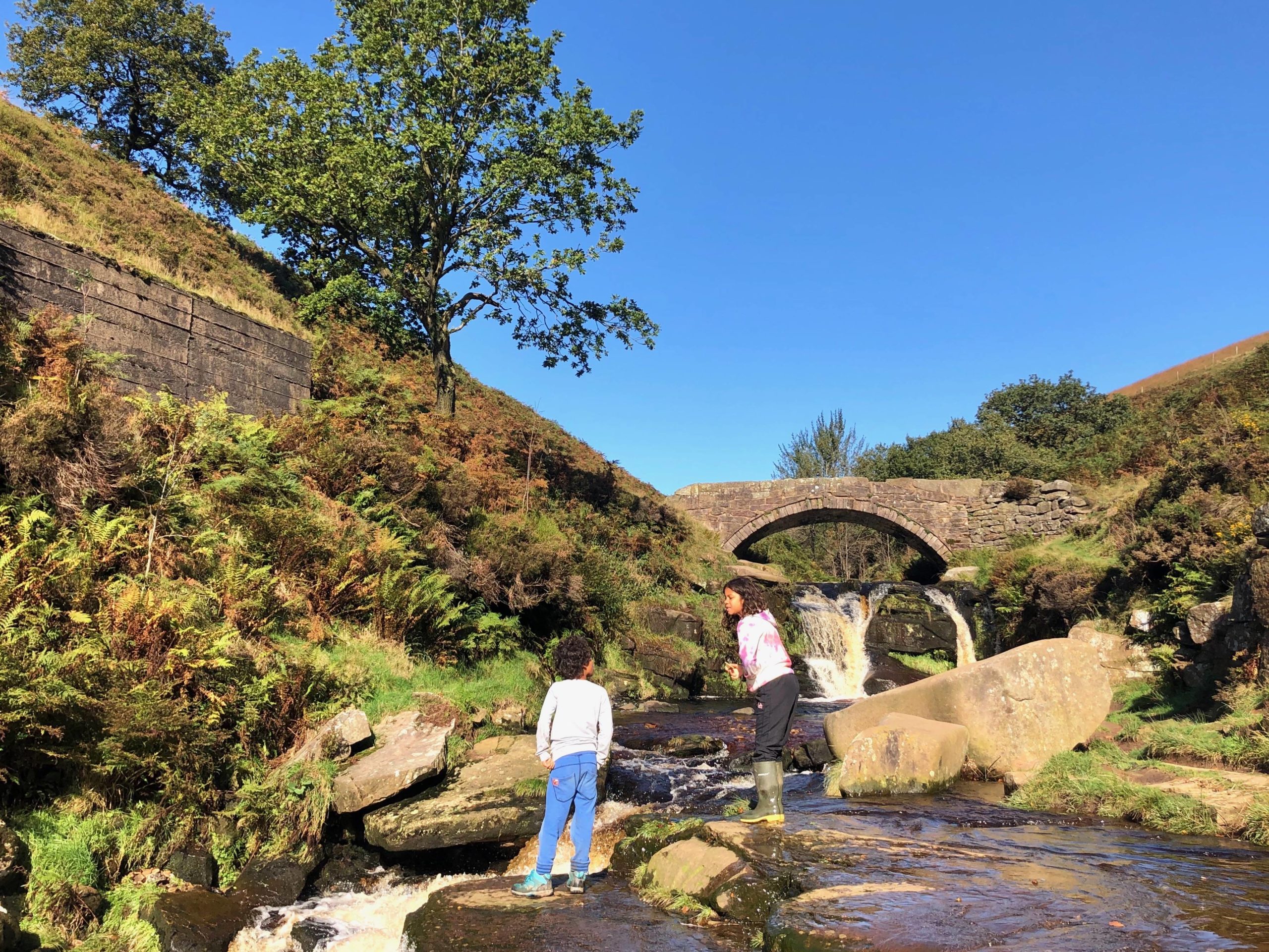
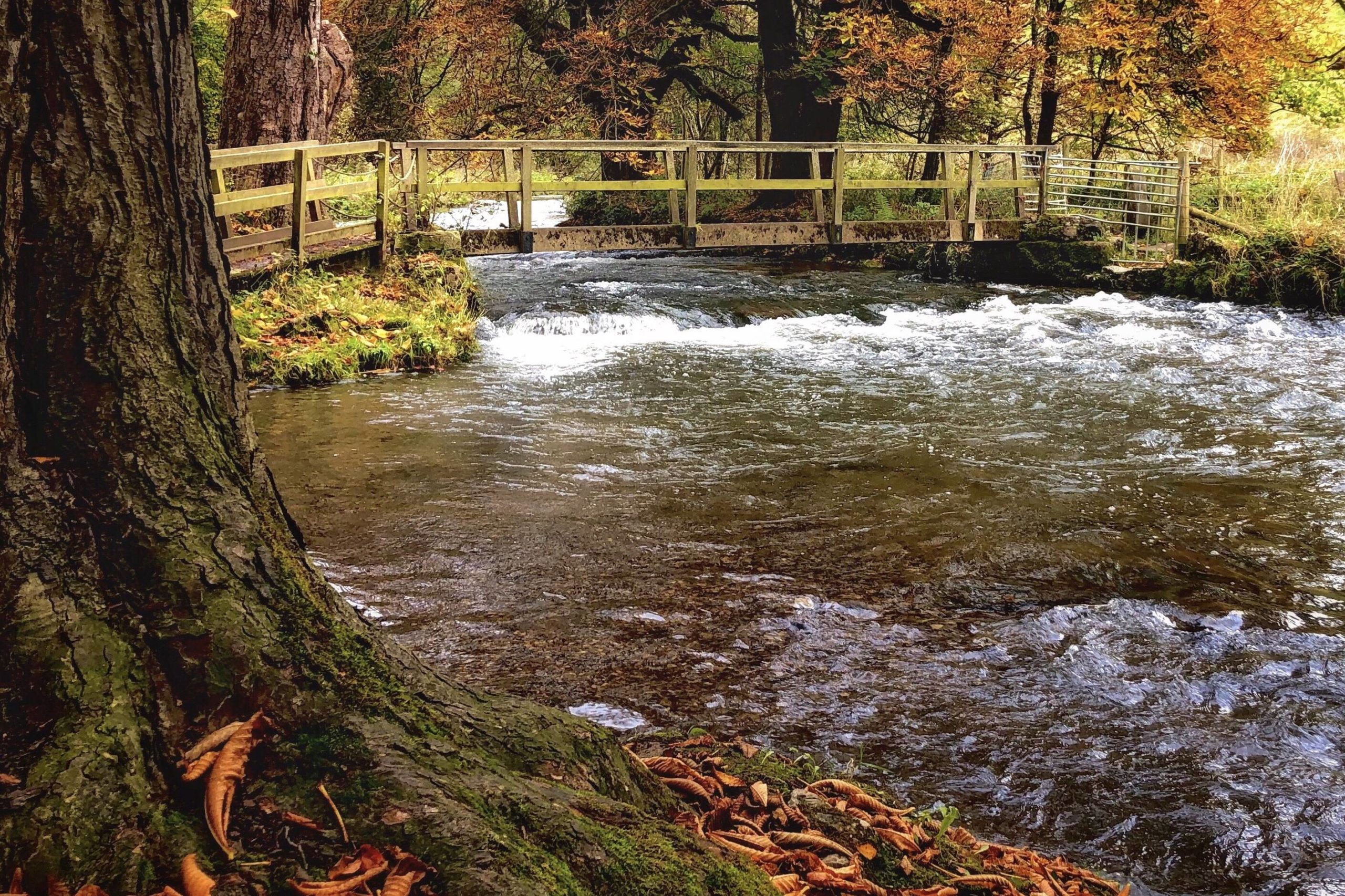
3. The path descends and crosses a stone bridge over the River Dove. Go over the bridge, through an ornate metal gate, and then almost immediately turn left, following the signposted footpath.
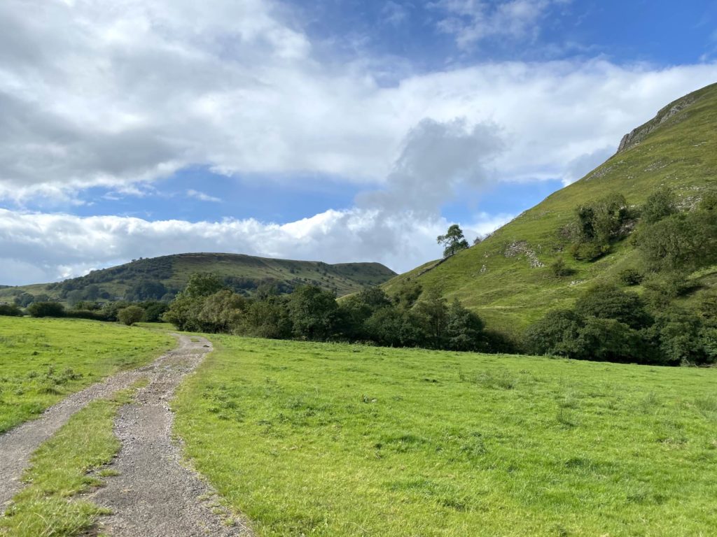
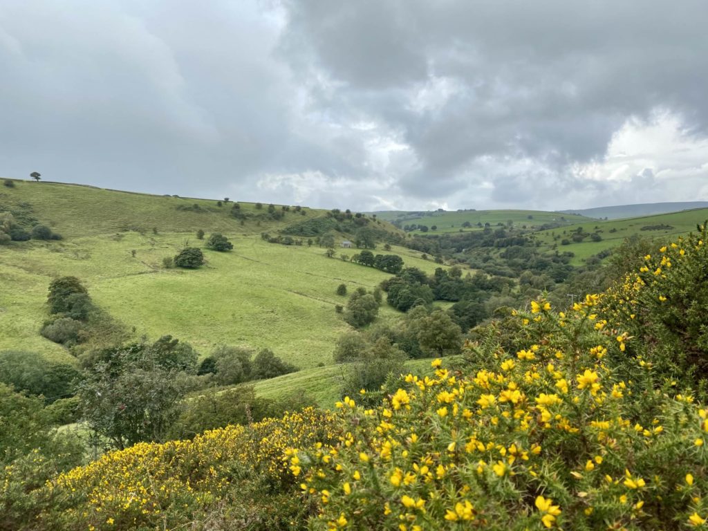
4. Follow this well-marked field path until you reach a T-junction with a narrow, stony farm track. Turn left on the track (which soon changes to grass) and follow it through a wide gate between stone walls, passing to the right of a small cottage. Continue straight on after passing the cottage, ignoring other paths off. This track is lined with foxgloves in the summer and bright yellow gorse in the autumn, and offers wonderful views over the hills towards Axe Edge Moor.
5. Continue following the track as it continues around the side of a hill, eventually coming to a farm on the left and meeting a quiet road. Turn right on the road to continue in the same direction of travel.
6. Soon after crossing a cattle grid, look out for a step stile on the right which takes you across fields. Follow the obvious path up the hill and through a succession of gates in the lovely old stone walls that surround the fields.

7. On reaching a junction of paths with a signpost, go straight on, signed towards Glutton Bridge via Chrome Hill. Go straight on through a gate and over a further field.
8. As the bumpy ‘spine’ of Chrome Hill comes into view on the right, follow the signposted path that turns right to follow a fence line down to the foot of the hill. At the foot of the hill, turn left and follow the signposted Concession Path through a kissing gate, with Chrome Hill ahead of you.

9. Go straight on and follow the obvious path towards Chrome Hill. Soon after passing through a small kissing gate the path heads steeply left to ascend up and over Chrome Hill. Do take great care on this path; the terrain is uneven over slippery limestone rocks, and there are steep drops to the side. The fantastic views are also very distracting!

10. After cresting the hill, continue down on the obvious grass path towards a lone tree. Go through the gate at the foot of the tree and follow the marked path as it descends down, over a stile and on to a quiet road.

11. Turn right on the road, passing between the slopes of Chrome Hill on your right and Parkhouse Hill on your left.
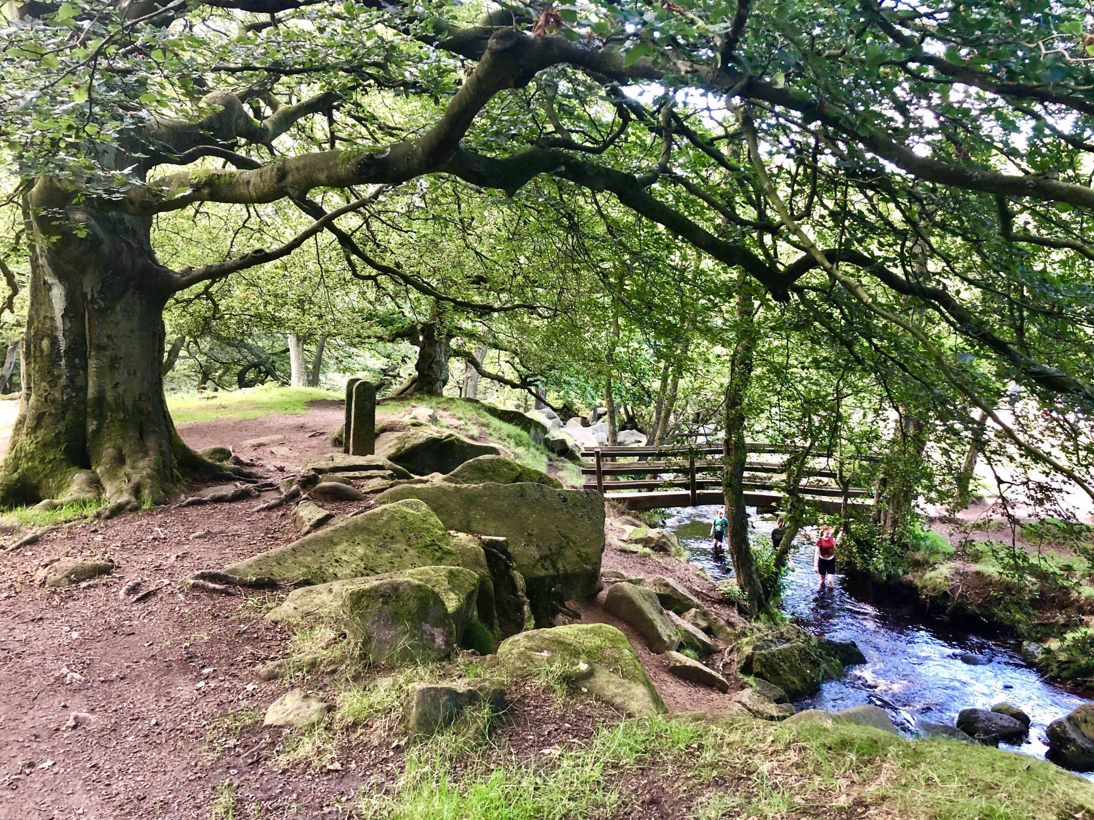
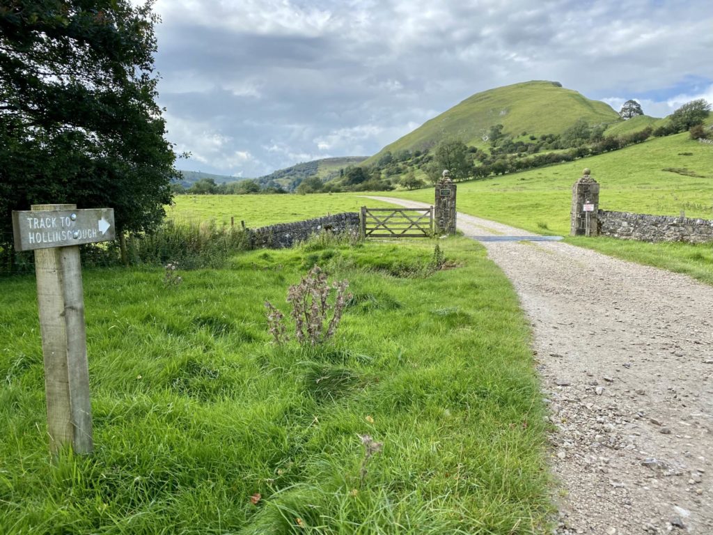
12. After approx 100m the road meets a stony track on the right that passes between two stone gateposts, signed ‘Track to Hollinsclough’. Take this track and continue straight on, ignoring paths off, crossing a wooden footbridge over the River Dove again.
13. Follow the wide track through a gate until it reaches a junction with another track. Turn left at this junction, following the path signed towards Hollinsclough.
14. On reaching the lane at the end of the path, turn right. Walk down the quiet country lane (be careful as there are no pavements) back into Hollinsclough, with the start point of your walk directly in front of you.
