Hathersage and Stanage Edge Walk
Distance: 6.6 miles
Time: 2-3 hours
Terrain: Grassy footpaths, country lanes, some rocky, uneven terrain
Accessibility: Moderate, stiles and squeeze stiles, uneven terrain on Stanage Edge
Start and end grid reference: SK 23253 81096; S32 1DR; ///ribs.backyards.snappy
Introduction: Hathersage & Stanage Edge Walk
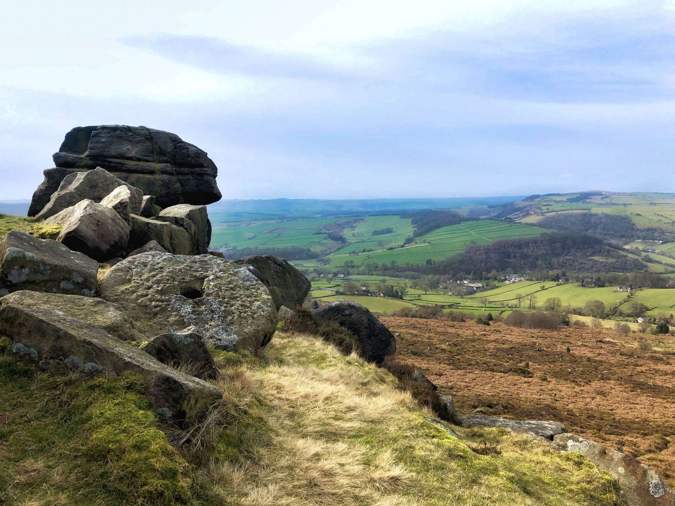
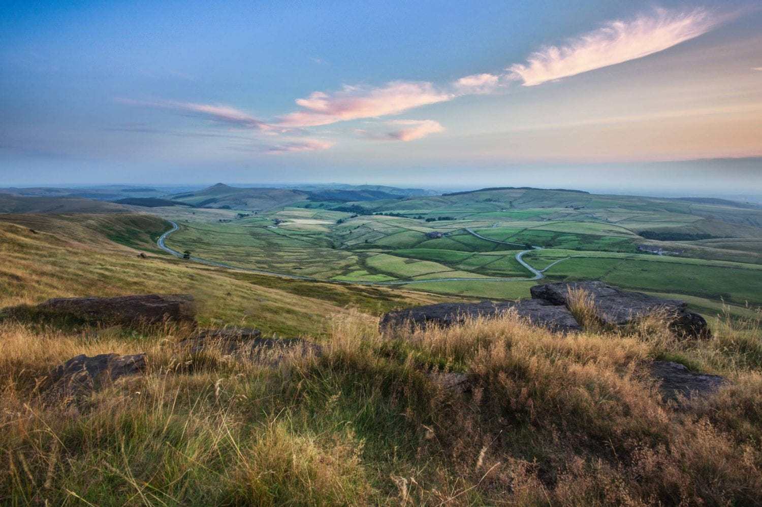
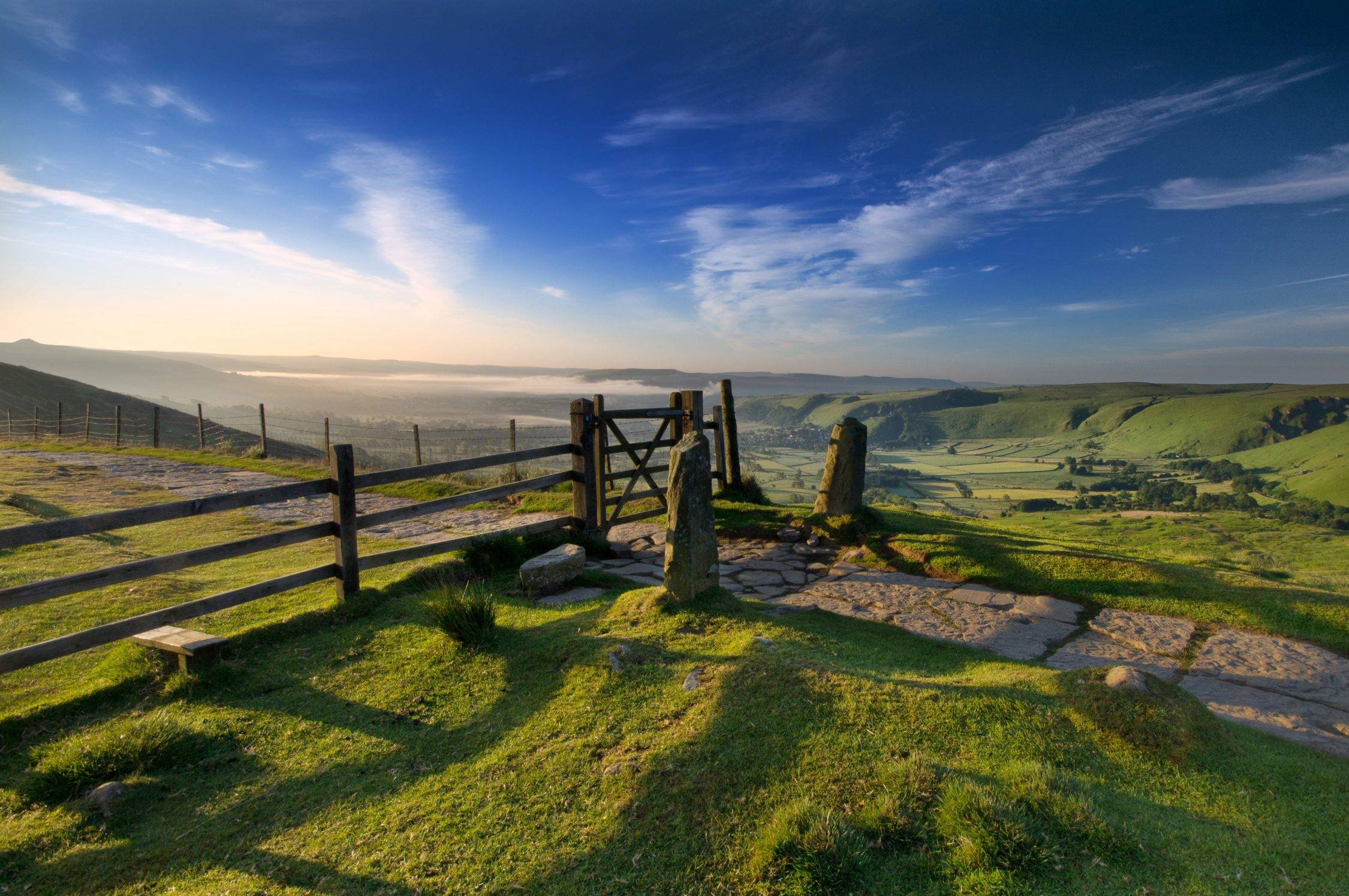
This circular Stanage Edge walk provides a beautiful glimpse of the best of this part of the Peak District. You walk through the pretty village of Hathersage and out on footpaths up to the gritstone heights of Stanage Edge. The views along the Hope Valley from the top are truly awe-inspiring. You then descend via Carhead Rocks and back into the village, along very pretty country lanes. The walk starts and ends at Hathersage train station (SK 23253 81096; S32 1DR; ///ribs.backyards.snappy) so it’s easily accessible by public transport.
This is a Stanage Edge walk of just over 6 miles. Most of the terrain is on country lanes, footpaths or field tracks, but the route along the top of Stanage is rocky and very uneven, so do take care. There are stiles and squeeze stiles.
There are a number of great pubs and cafés in Hathersage at the start or end of the walk, as well as public toilets. Allow 2-3 hours to complete this Stanage Edge walk at a moderate pace, allowing for rest stops to take in the views (which are awesome).
Note: This route is provided in good faith and is correct at the time of publication. Please be aware that routes may be diverted over time as paths and access are altered, particularly in farming areas. Our directions should not be used instead of a map. You should always take a map with you to cross-reference the route.
The Stanage Edge Walk from Hathersage
1. Walk out of Hathersage train station and turn left, to walk on the footpath along Station Approach. Stay on the footpath and at the end of Station Approach turn immediately right on to Back Lane. Walk up Back Lane to its very end, and then walk straight on over Crossland Road and continue straight over to walk down the hill into the village on the footpath to the side of A6187. As you approach the village you will need to cross the road and walk on the footpath with the road to the left of you – the footpath runs out on the other side.
2. Walk down into the village of Hathersage. If you need sustenance before the walk or want to stock up on picnic items, you’ll find three pubs in the centre of the village, a lovely deli and a couple of cafés, as well as two small grocery shops.
3. To start the walk, take the narrow lane called Baulk Lane that runs to the right of the Alpkit outdoor equipment store in the centre of Hathersage. Follow this pretty lane out of the village, ignoring the various footpaths off. You will pass the village cricket pitch, the Scout hut and then an allotment on your left. Keep walking on the same well-marked path, through a succession of gates. You will see the heights of Stanage Edge on the horizon ahead of you.
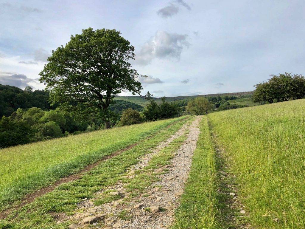
4. When the path reaches a road at Birley Lane after approx. half a mile, cross over the road and take the path through the wide gate or over the stile directly opposite. Walk ahead through the field to a small gate leading into woodland.
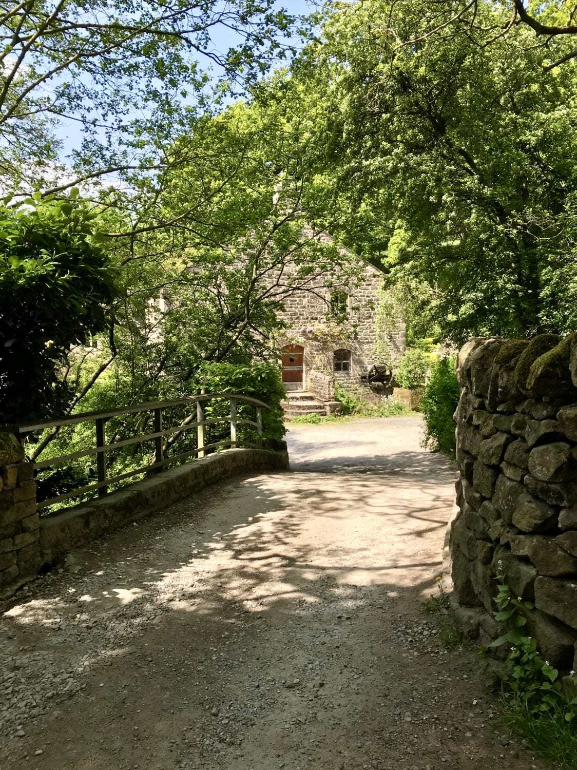
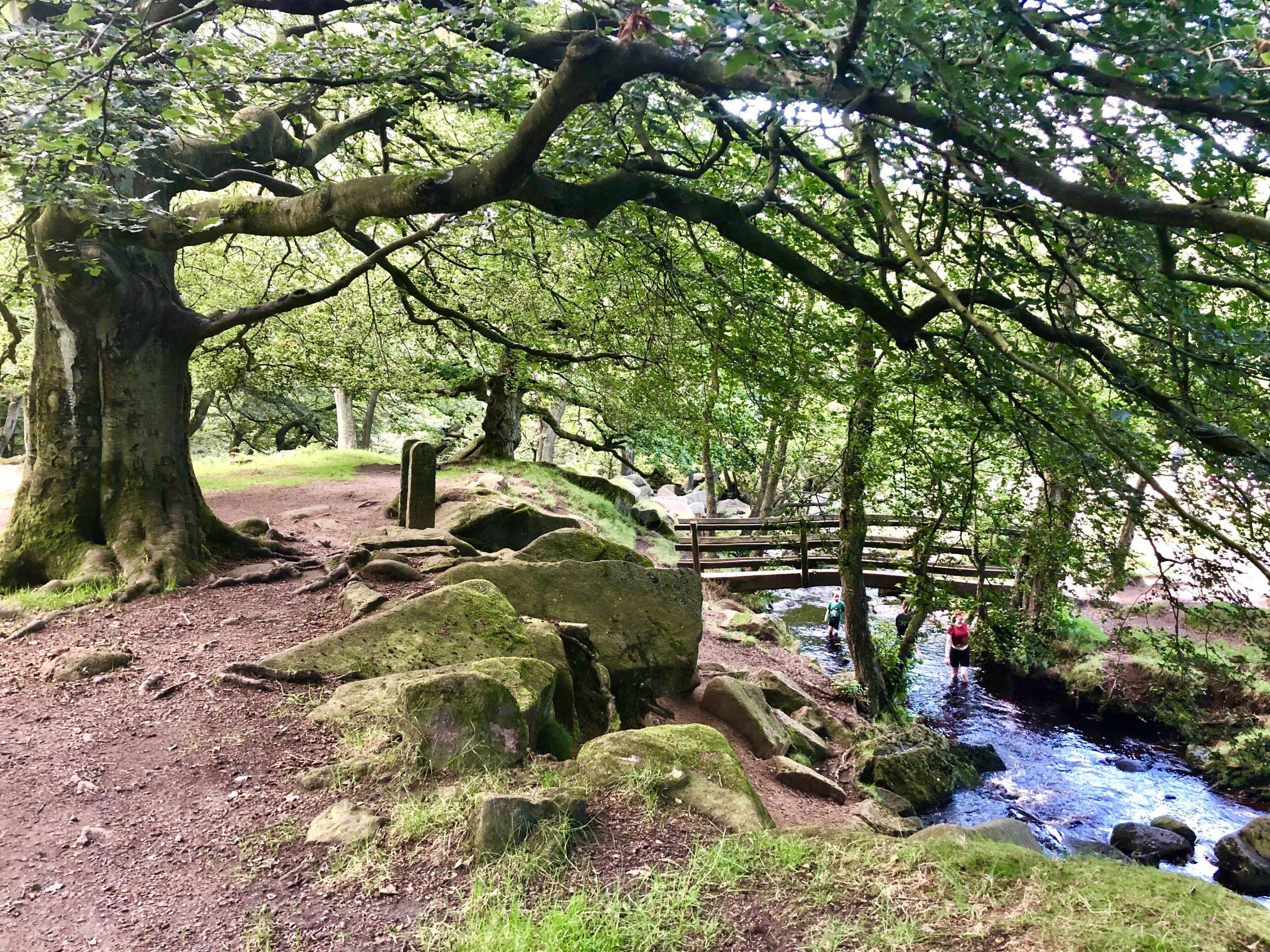
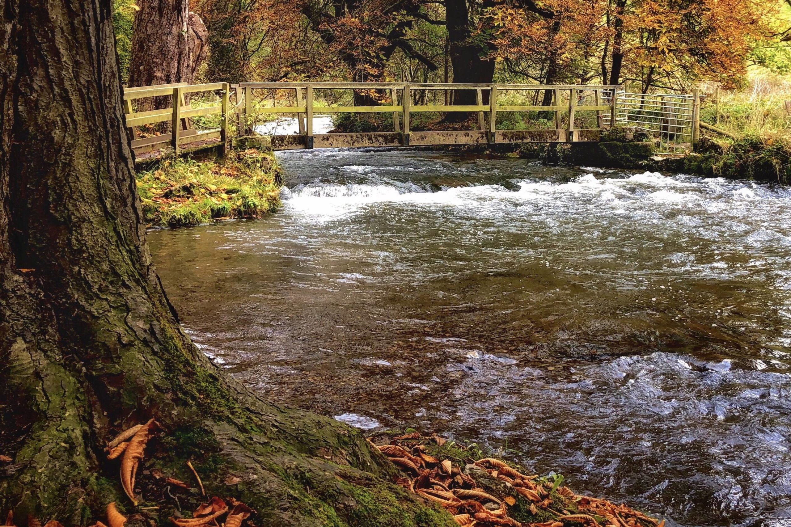
5. Follow the path through the woods, walking with a stream to the left of you. At a junction of paths by a pretty wooden footbridge, take the left path and cross the footbridge, walking up a hill to a gate that leads into open fields.
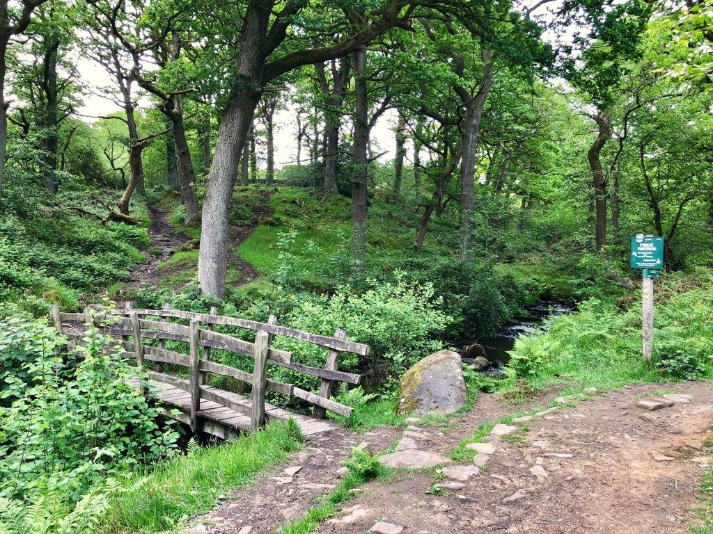
6. Follow the path across the field, through a further gate, and then veer slightly left to cross a boggy area via a small footbridge. Head for a stile in a stone wall, cross over and take a narrow path between two fences.
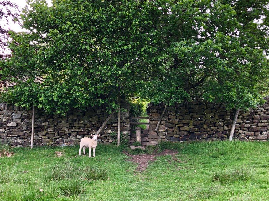
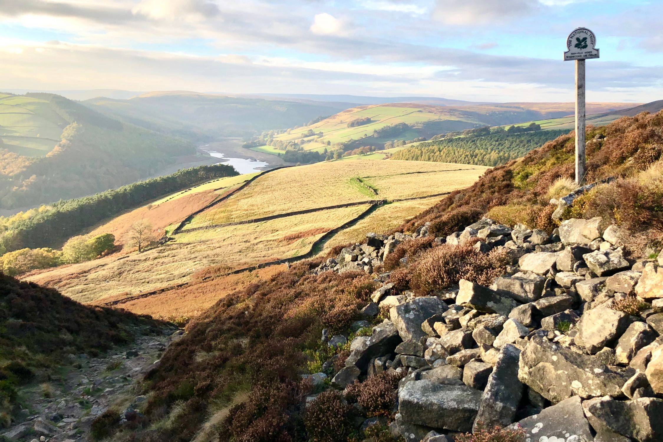
7. Where this path ends, turn left, signposted to Stanage via Dennis Knoll, over a stile beside a wide gate. Walk through the yard of Green’s House and look out for a public footpath sign to the right just before a small outbuilding. Go through a gate, over a stile and follow this path up, keeping a stone wall on your right. At a gap in the wall, walk through the gap and continue following the path, now with the wall on your left. There are magnificent views along the Derwent Valley over to your right.
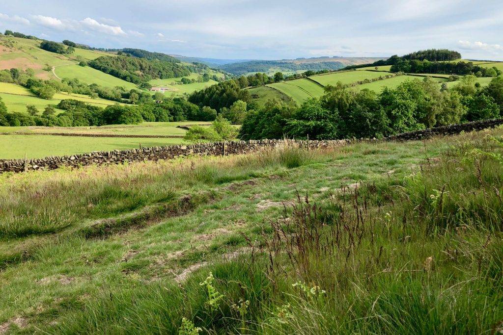
8. The path curves to the left and eventually emerges through a gate on to a lane, with Stanage Edge visible ahead of you. Turn left on this quiet lane and walk through a gate beside a cattle grid.
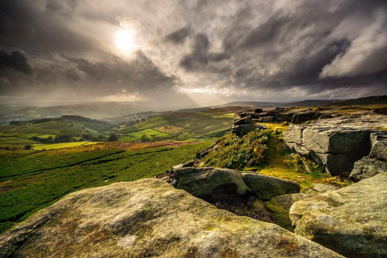
9. Where the road bears left around woodland, turn right to walk instead on a broad path, past the sign for Dennis Knoll. Continue walking on this well-made path up on to Stanage Edge, ignoring the many smaller footpaths off. Stanage Edge is a mighty gritstone edge, hugely popular with climbers who travel from all over the country to tackle the 1,500+ recorded routes up its rock faces. It runs for almost four miles roughly north to south, from Moscar Moor to Burbage, rising to 458 metres (1,503 feet) at High Neb, its highest point.
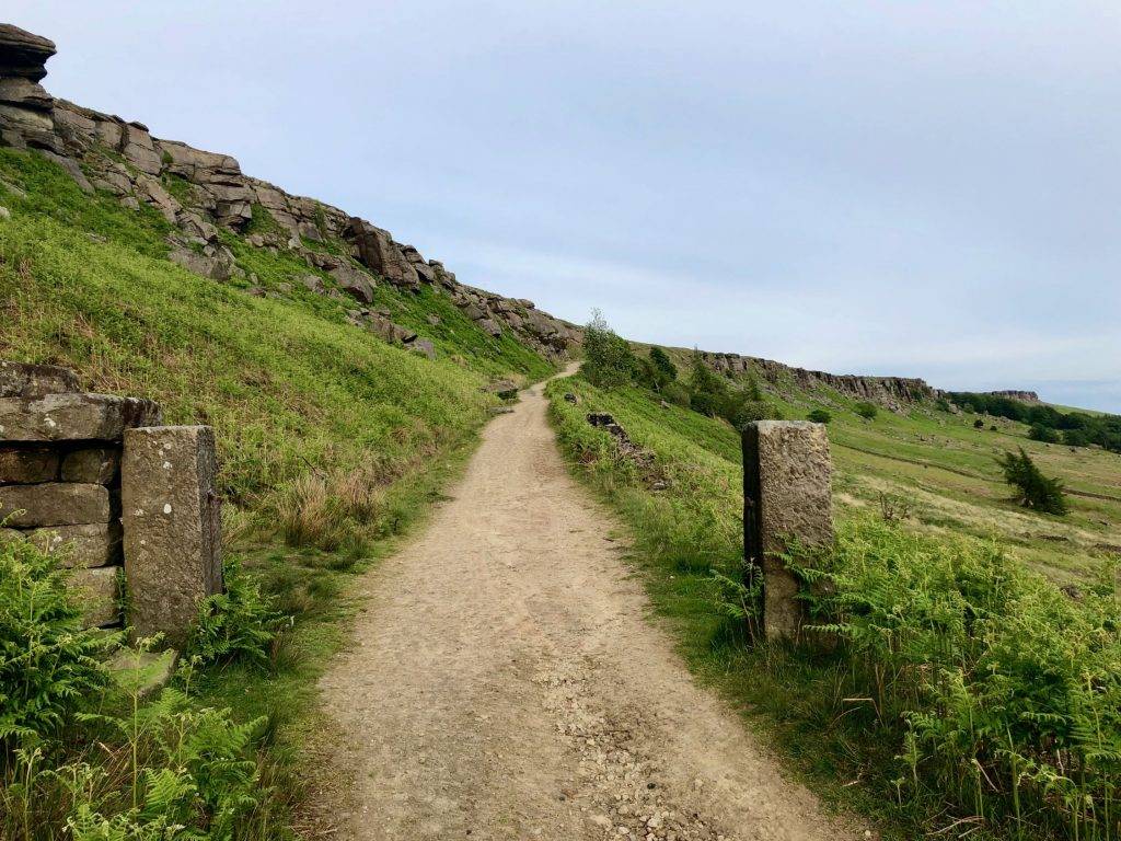
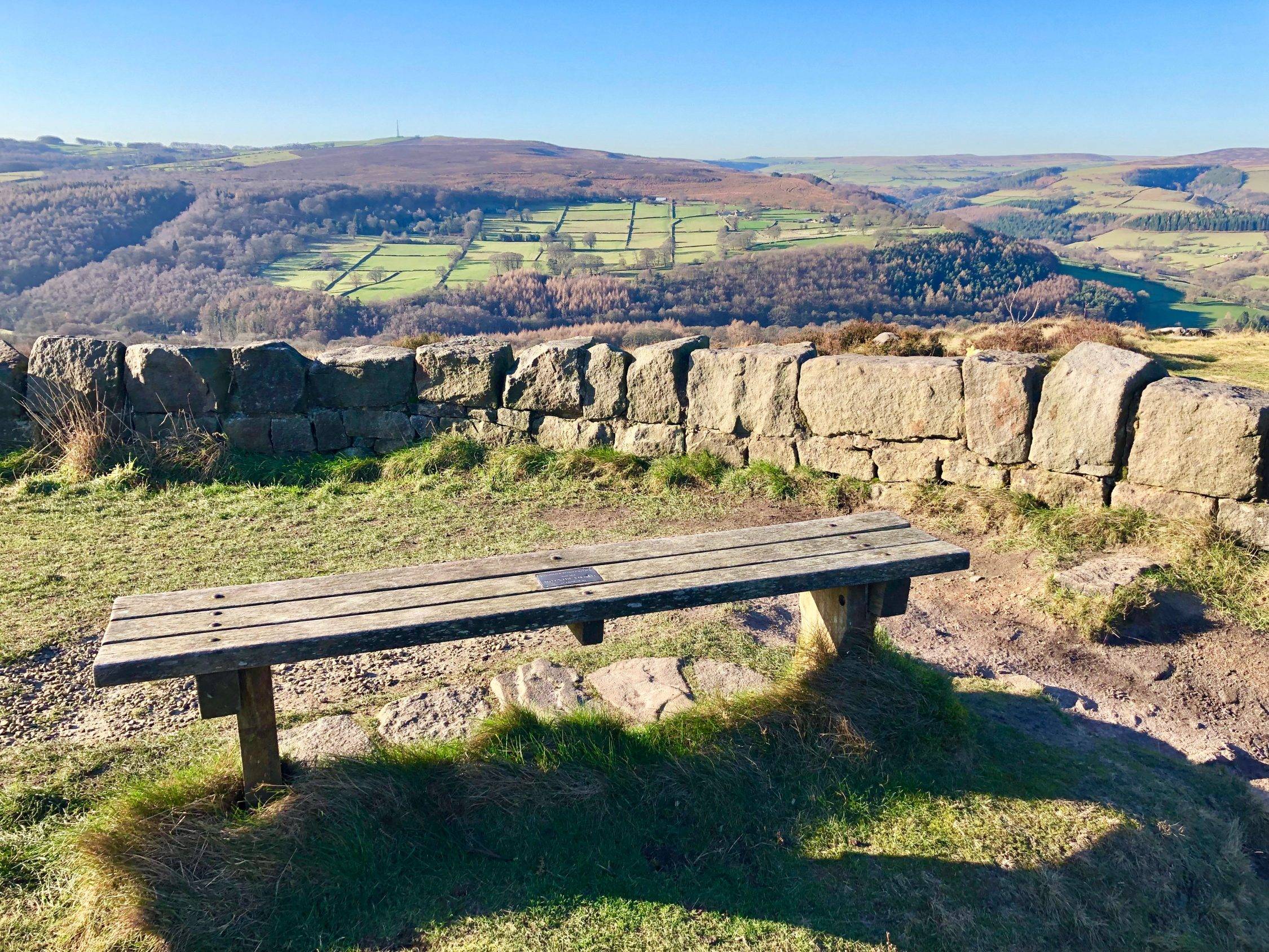
10. When you reach the top of the broad path and emerge on to the summit of Stanage Edge, turn right and follow the narrower path marked Access Land that runs close to the edge. The terrain becomes rocky and uneven here, so do take care. The fantastic views across the entirety of the Hope Valley can also be distracting! Continue following the path close to the edge, roughly straight on, over a number of stiles. Wherever the path forks, stick to the right hand path along the edge. You walk for approximately half a mile across Stanage Edge.
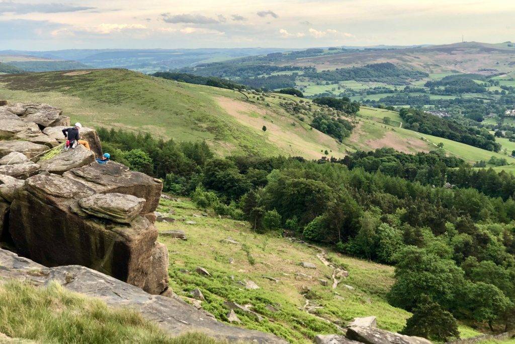
11. There are many paths down from Stanage Edge, and it doesn’t really matter which one you take, but one of the easiest, most gentle descents is on the path marked on our map, so do try to follow this route if possible. You need to head for the road that you can see running parallel to Stanage Edge. Whichever way you choose, take care on the way down as the path will be uneven.

12. At whichever point you reach the road, turn left. Where the road reaches a T-junction, turn right and go through a gate beside a cattle grid. Soon after the cattle grid, look out for a small gate on the right set into a stone wall. Go through the gate and follow the well-marked path, looking out for the wooden way markers to stay on the right track. You will soon summit this ridge with the most wonderful views opening up before you. Carhead Rocks lie to your right.
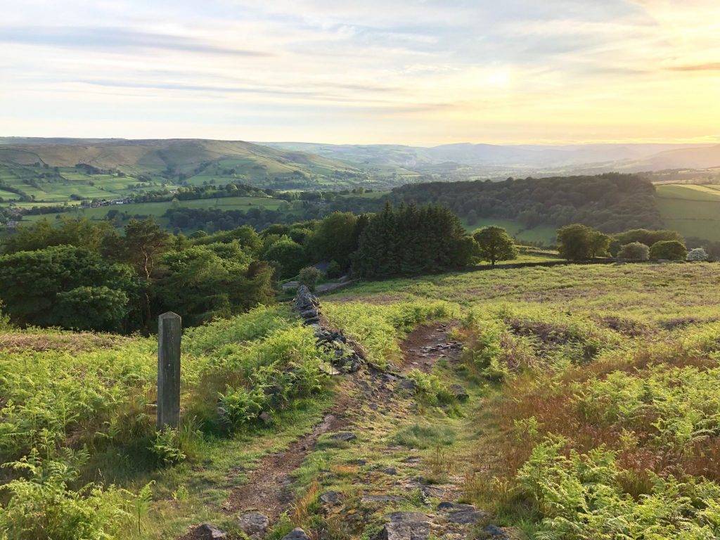
13. Follow the path down over the fields towards a small gate set in a stone wall that emerges onto a farm track. Turn left on the track. You will see the village of Hathersage lying in the valley to your right.
14. Continue walking along the track until you see a public footpath that goes through a wooden gate on the right. Follow the path down through fields, initially keeping a stone wall on your left. Where the wall ends continue straight on, down to a further stone wall at the bottom of the field. Go through a wide gate and follow a wide grassy path that bears right, emerging on to a lane beside houses. On reaching the lane, turn left. Continue through a narrow gate and walk past a vineyard on your right.

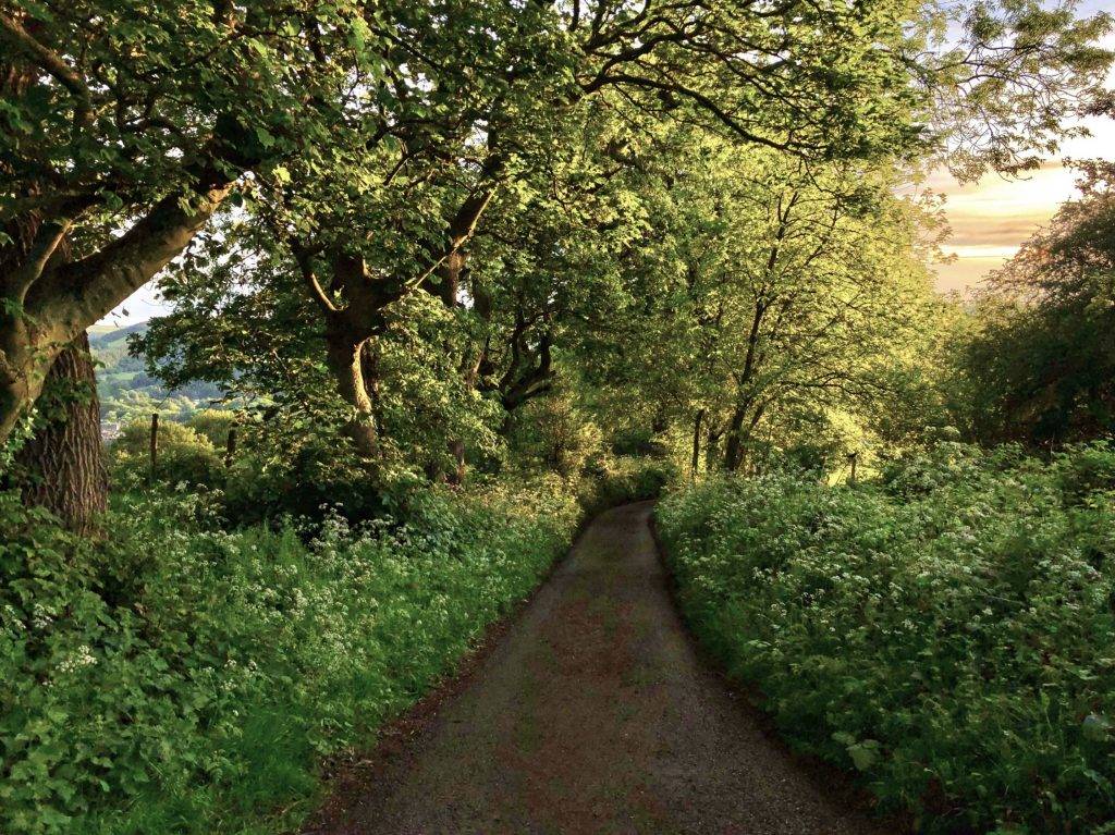
15. Continue on the lane, through a gate beside a cattle grid and down through beautiful arches of trees. Where the lane reaches a quiet road called Church Bank, turn left and head down the hill back into the village of Hathersage. At a further junction, turn right on School Lane to walk past the Scotsman’s Pack pub and the village primary school on the left.
16. When you reach a T-junction as School Lane meets the A6187, cross over the road and turn left to retrace your steps up the hill, back to Back Lane. Follow Back Lane downhill and turn left at the end, to walk back to the station and your starting point.

A route in a series that are accessible from mainline railway stations from Sheffield, a collaboration with The Outdoor City #trainstationwalks
5 Peak District Train Station Walks in the Peak District Hope Valley
The Let’s Go Peak District Hope Valley Train Station Walk Series are all circular, and if you set yourself the challenge to walk all of them you will have walked ~28 miles, and taken in many wonderful views.
- Grindleford Peak District Train Station Walk (Moderate, 4.5 miles)
- Hathersage Peak District Train Station Walk (Moderate, 6 miles)
- Bamford Peak District Train Station Walk (Easy, 4 miles)
- Hope Peak District Train Station Walk (Moderate, 6 miles)
- Edale Peak District Train Station Walk (Challenging, 7.5 miles)
Working with The Outdoor City to encourage visits from the City of Sheffield for day trips into the Peak District National Park.


