Details
Distance: 5 miles
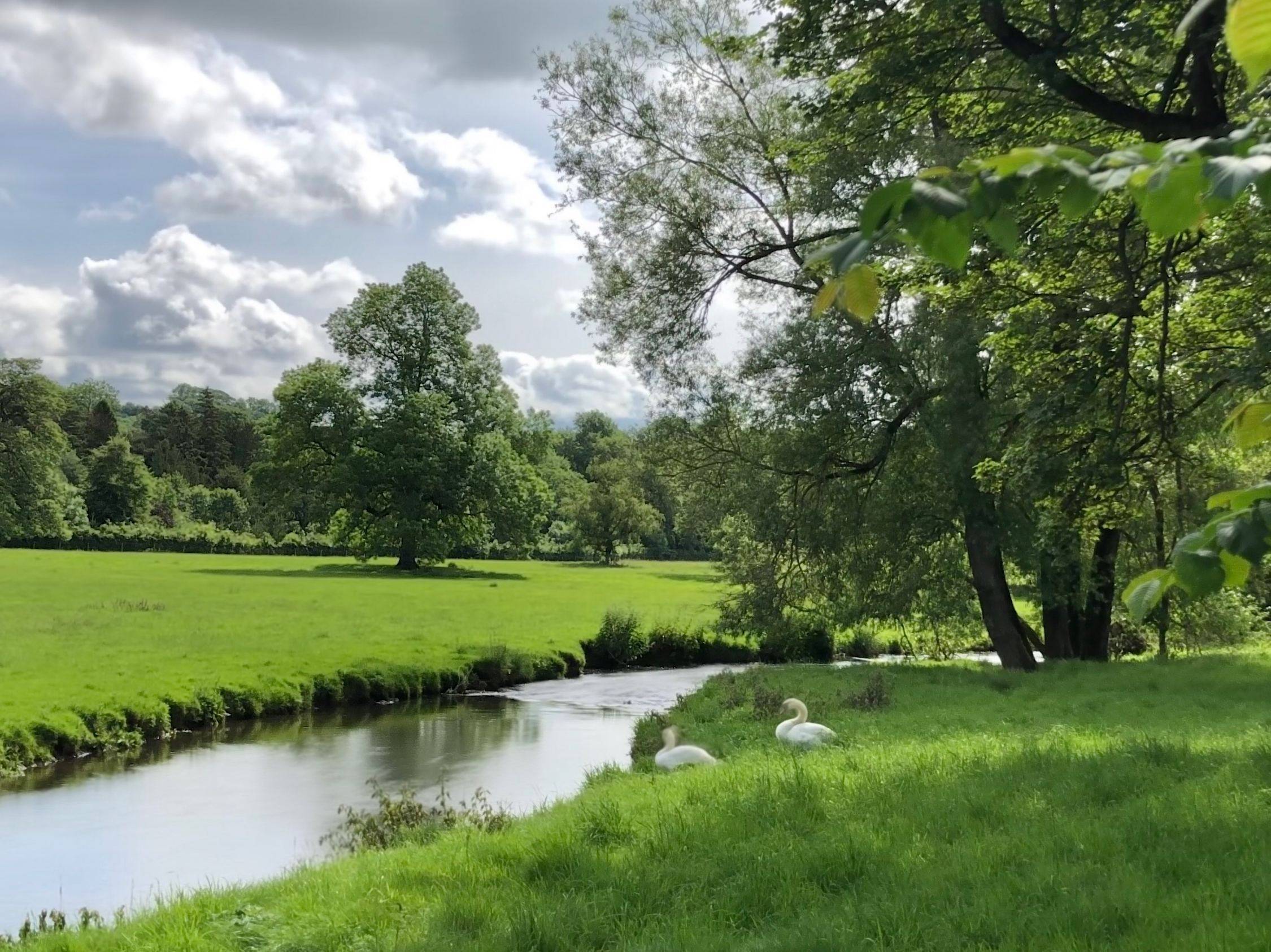
Time: 4-5 hours
Terrain: Rural tracks and country lanes, grassy footpaths
Accessibility: Moderate, stiles and squeeze stiles, some uneven terrain in woodland and through fields
Start and end grid reference: SK 09593, DE6 2AG
Downloads: GPX File | PDF Route Map
Introduction
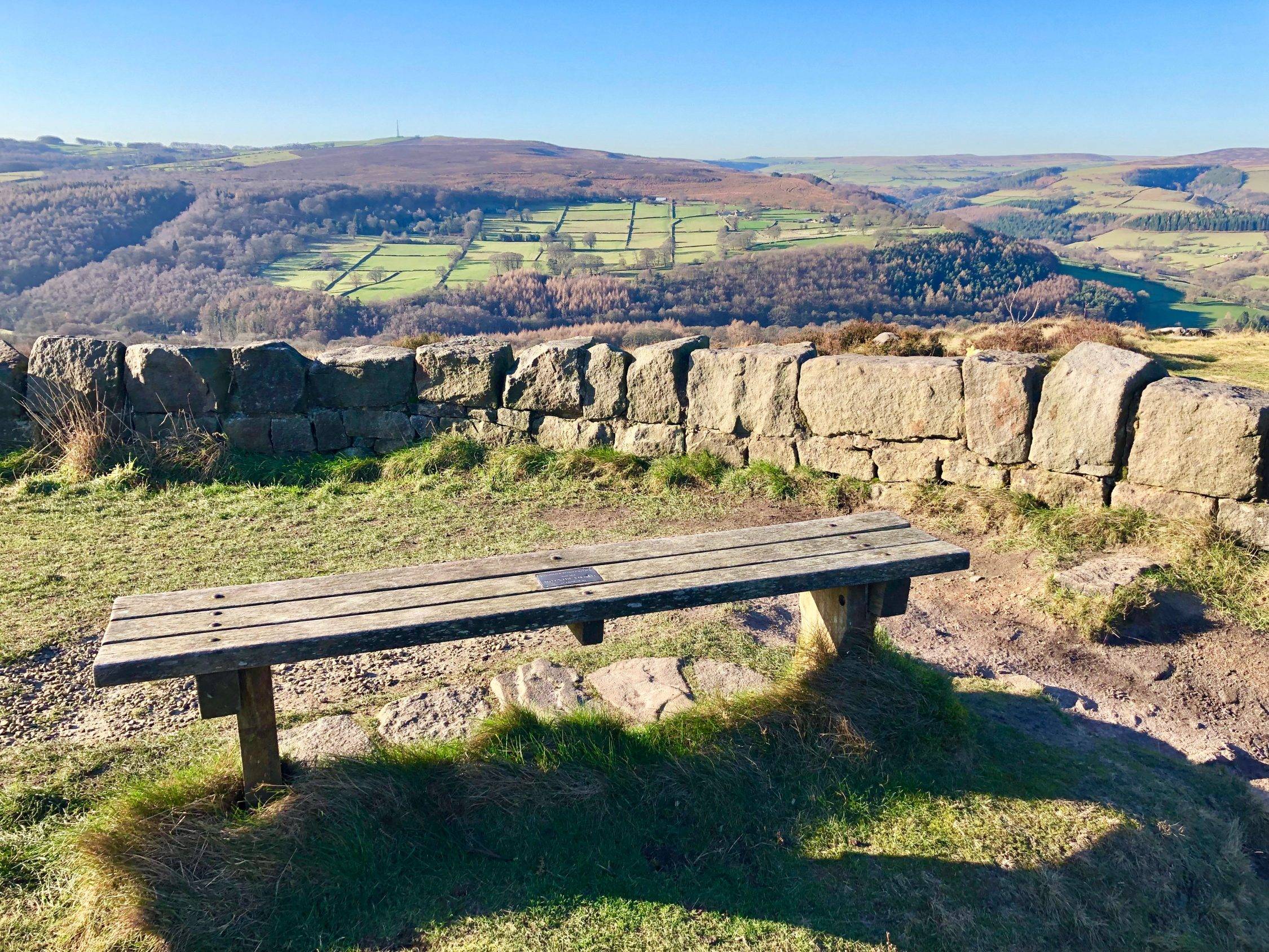
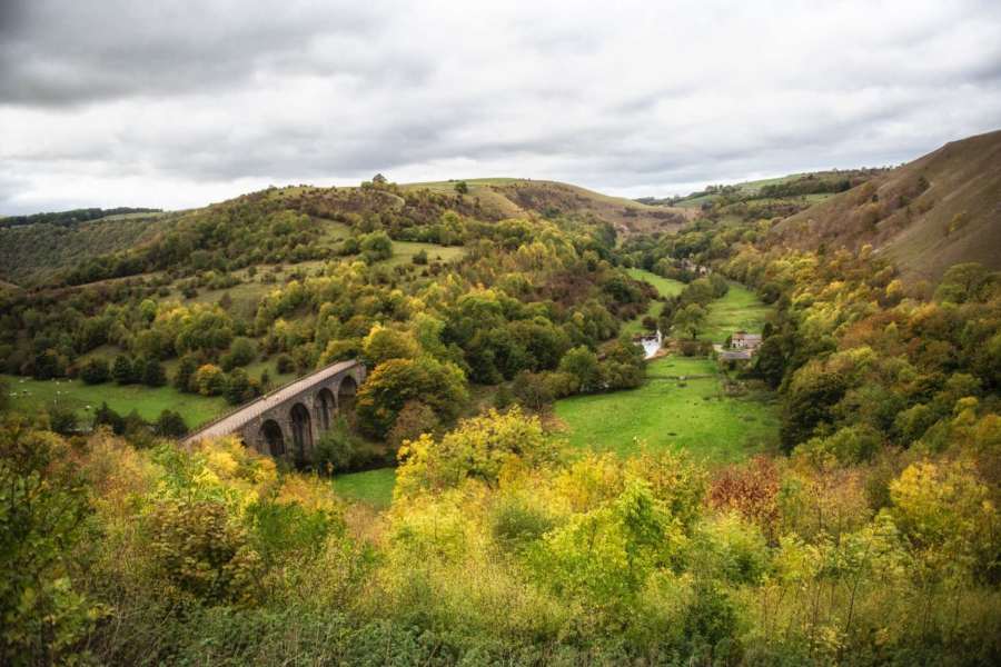
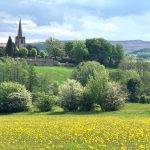
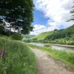
This circular walk is simply stunning, offering some of the very best views of the Staffordshire Peak District countryside. Starting at the lovely Wetton Mill (SK 09593, DE6 2AG), it follows the course of the Manifold Way past spectacular limestone cliffs, through shady woodland and alongside the River Manifold, before heading quite gently uphill to some of the most fantastic and far-reaching views in the area. It emerges in the pretty village of Wetton at roughly the halfway point, where there are public toilets and a dog-friendly pub that serves good food and real ales. From Wetton the route follows field tracks down into the hidden Manifold Valley, a peaceful haven for wildlife, before returning to the start point.
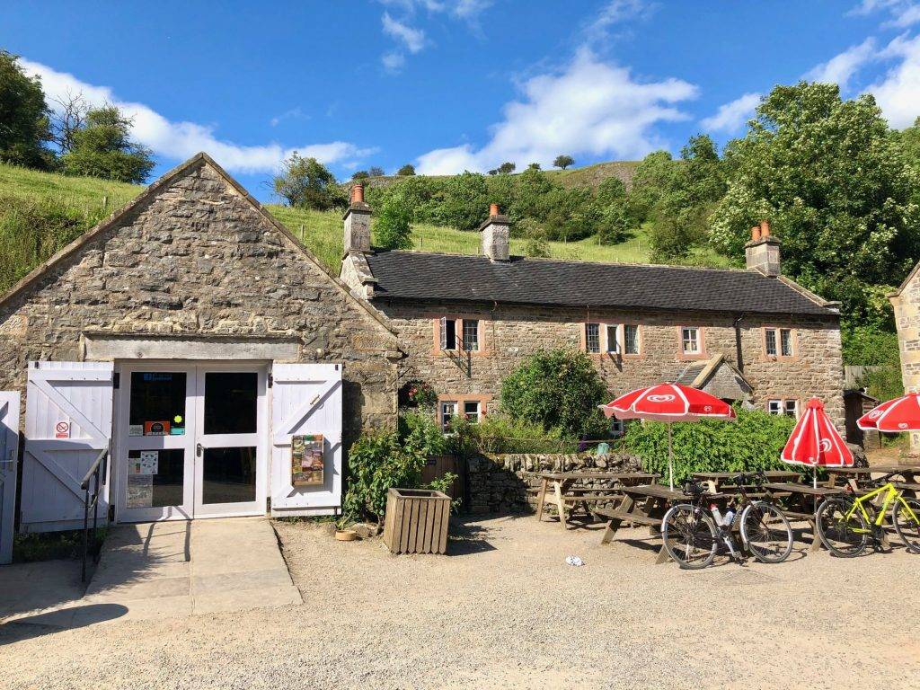
This is a walk of 5 miles. The terrain is not particularly challenging although there are uneven stretches on some of the field paths. There are both stiles and squeeze stiles, which may prove difficult for large or less agile dogs. The walk starts and ends at Wetton Mill, where there are public toilets and a café. Children of all ages can play in a shallow stream there too, and explore prehistoric cave systems. Allow 4-5 hours to complete this walk at a moderate pace, allowing for rest stops to take in the views.
The Walk
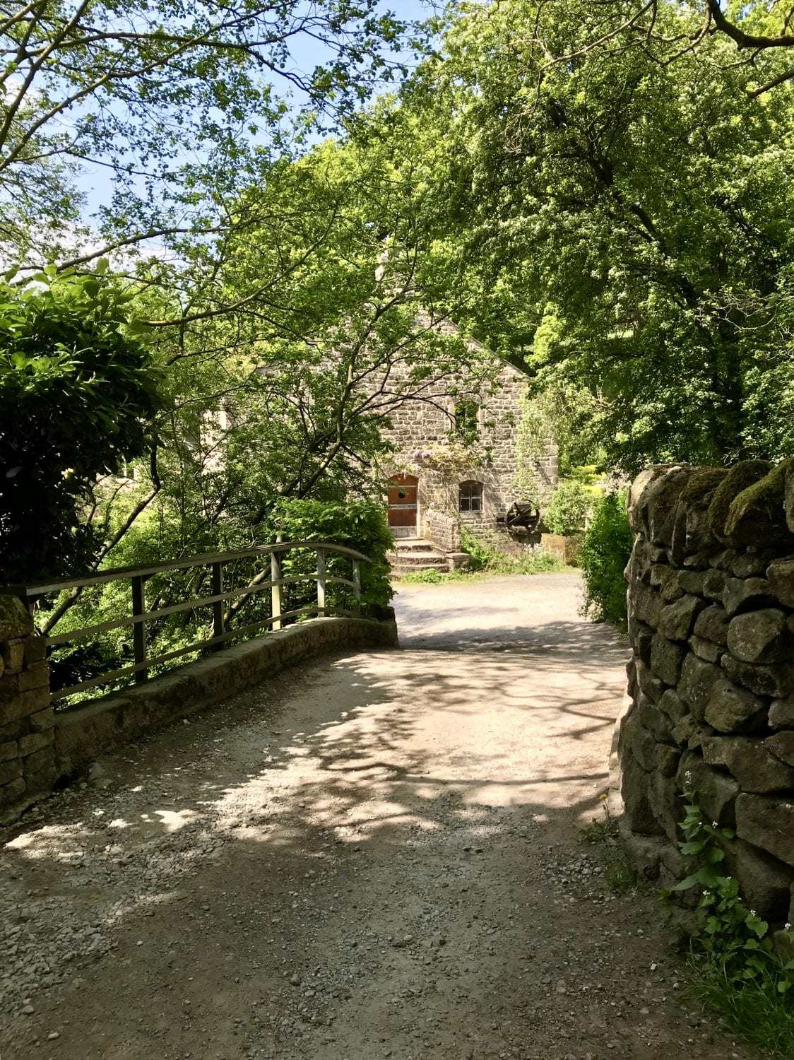
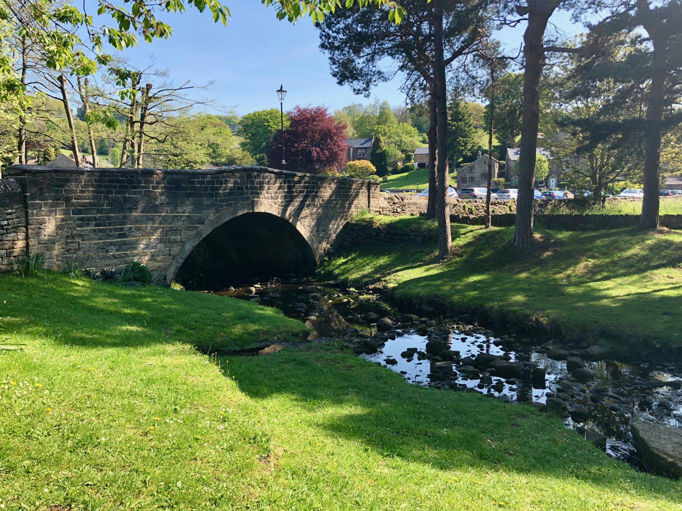
1. Leaving the car park by the tea room at Wetton Mill, turn left to walk across the pretty stone bridge over the river. Turn immediately left again after the bridge, to walk along the quiet lane with weight restriction signs. When this lane ends at a crossroads, continue straight on over the road and through a gate, on to the Manifold Way, a former railway line.
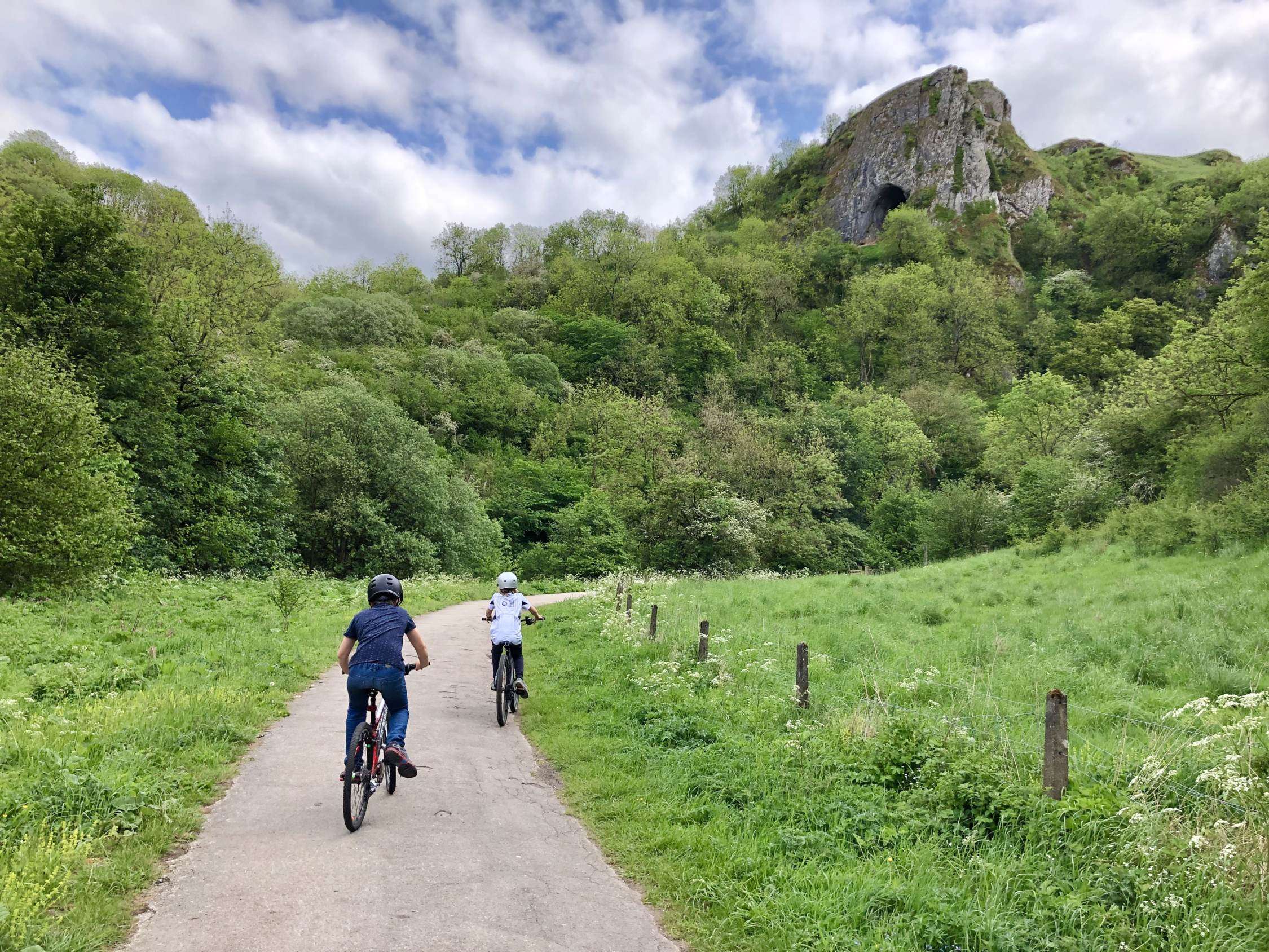
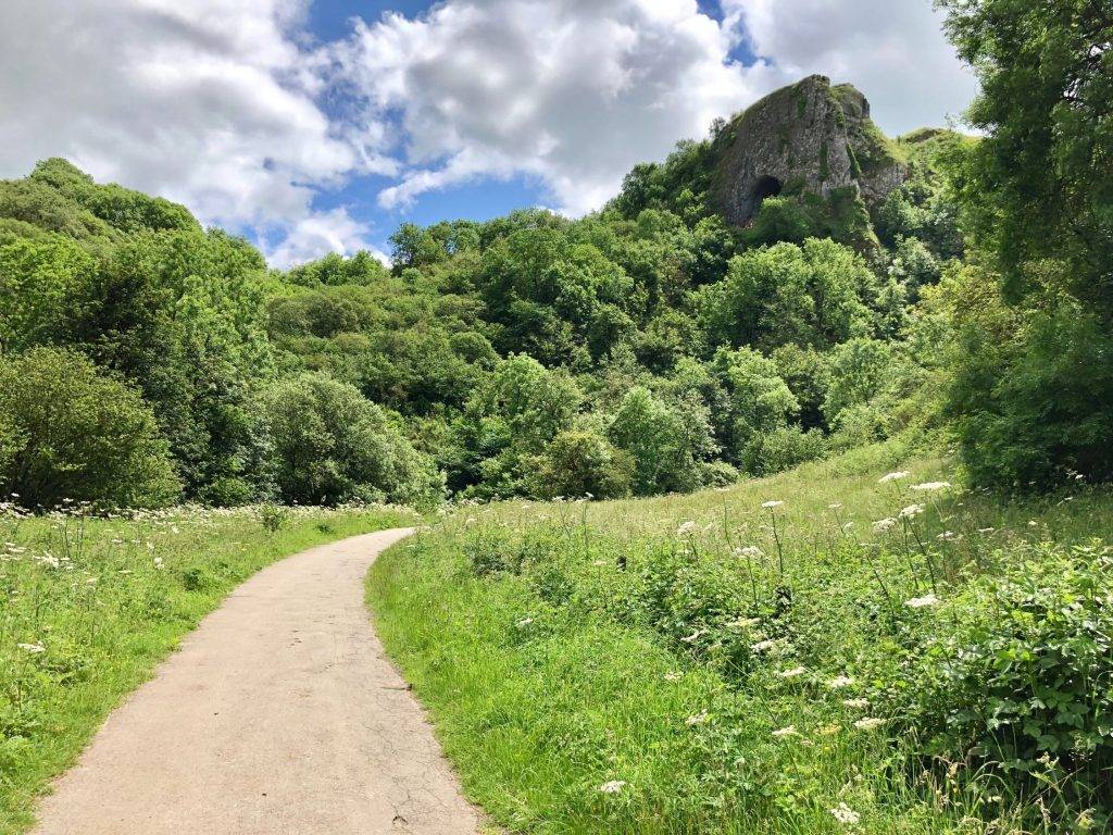
2. Follow this beautiful track as it winds through lovely countryside, with the (often dry) River Manifold on your left. After approx. 500 metres you will see Thor’s Cave obvious in the towering limestone cliffs to your left. A short diversion from the route here will allow you to walk up and explore it. This is well worth the effort, although be warned that it is not easily accessible and there are very high, sheer, unguarded drops from within the cave.
3. Continuing on the route, follow the Manifold Way through shady woodland and out again into open countryside. You will eventually reach a crossroads where there is a small car park and (if you’re lucky) an ice cream van. Go straight on here, taking either of the two lanes directly in front of you. The right hand track with the No Vehicles sign is the better made.
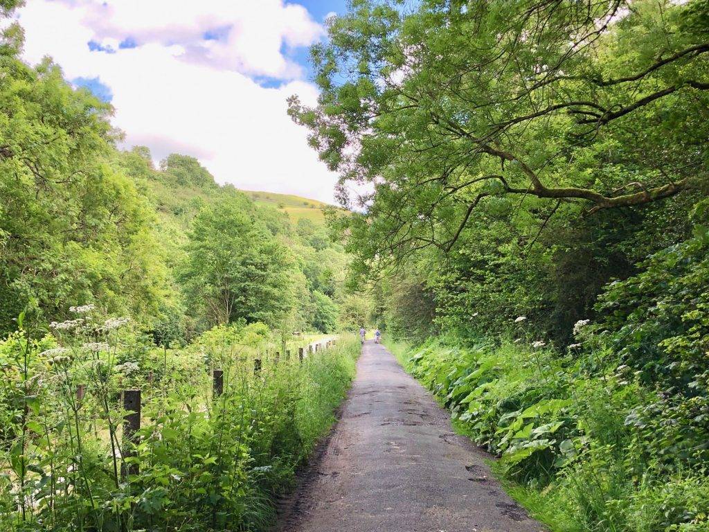
4. Continue on the track, with beautiful views of Beeston Tor ahead and to the left of you. If you took the right hand track, look out for a public footpath off to your left soon after the path bears right. Go through a gate and diagonally left across a small caravan site. On reaching a track turn right to cross a bridge. If you took the left hand track, the track will continue straight on through the caravan site to meet the same bridge.
5. Very soon after crossing the bridge take the public footpath through a small gate on your left. Turn right immediately after going through the gate and then cross the river ahead of you. The river-bed is usually dry, but there are stepping stones if not.
[Note, if the stepping stones are also impassable, usually only after prolonged periods of very heavy rain, retrace your steps back to the crossroads with the ice cream van and turn right to cross the river on to Larkstone Lane. Walk up the lane and rejoin the route at Point 7 below.]
6. On reaching the other side of the river go through the gate signposted to Beeston Tor. Follow the path to the left of the limestone cliffs. Turn left to walk uphill on a grassy path through trees. On reaching a gate and squeeze stile at the top, turn right to continue heading gently uphill with a dry stone wall to your right. The views back are stunning!

7. At the top of the hill go through a squeeze stile and emerge on to a quiet road, Larkstone Lane. Turn right over a cattle grid or through the gate to the side. Soon after crossing the cattle grid look out for a stile over a stone wall on your left. Walk up the hill across the field ahead of you, again taking the time to look behind you to check out those views!

8. On reaching the top of the hill, go through a gate and turn left on a country lane. After a short distance look out for a public footpath on your left, again over a stile that crosses a stone wall. Walk diagonally right across the field ahead of you, with wide open views, through a succession of squeeze stiles. At a crossroads of farm tracks go straight on and then over a stile that again crosses a stone wall. After the stile turn right and then immediately left to follow the obvious path as it continues through the farmyard, past a collection of barns on your right and the farmhouse on your left.
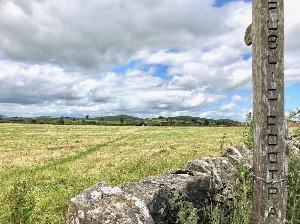
9. The track emerges from the farm yard on to a quiet lane in the village of Wetton. Turn left on to the lane and then right at a T-junction to walk into the village. As the road bends right, instead follow a lane to the left with a public footpath signposted Back of Ecton.
Note, if you wish to have a break in Wetton and visit the Royal Oak pub for refreshments, continue on the road down into the village. The pub is on your left after approx. 150 metres.

10. To continue on the route, follow the footpath signposted Back of Ecton as it heads up and out of the village, past a covered reservoir on your right and through a gate. Where the lane bears right, follow instead the grassy footpath through a squeeze stile ahead of you that continues straight on over hills. A further squeeze stile and gate takes you on to Wetton Hill. The path down across the fields is obvious and the views ahead are wonderful.
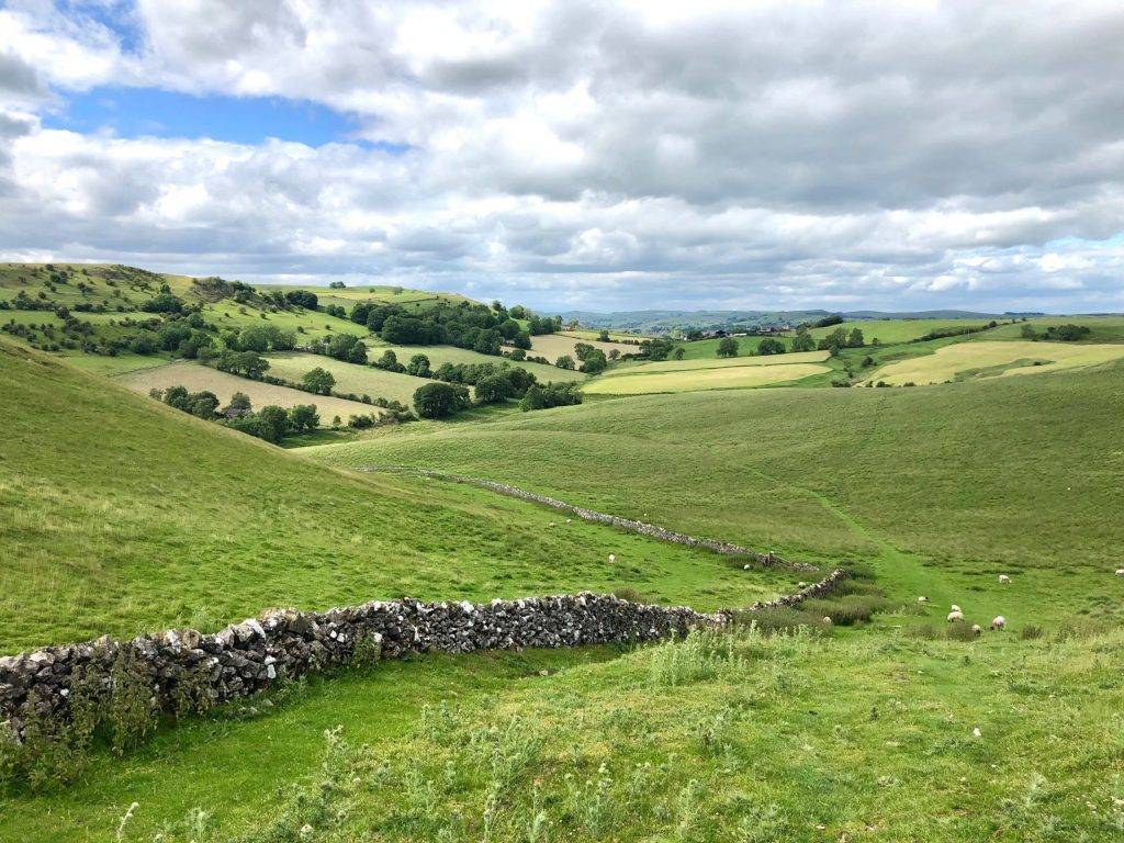
11. Follow the path over a succession of stiles. At a signposted junction of paths follow the sign to Ecton, keeping the stone wall on your left hand side. Follow the course of the stone wall, always keeping it on your left, all the way down through the field and around to the left. Continue on the path down, emerging through a squeeze stile on to a quiet track in front of an imposing farmhouse. Turn left, signposted Wetton Mill.
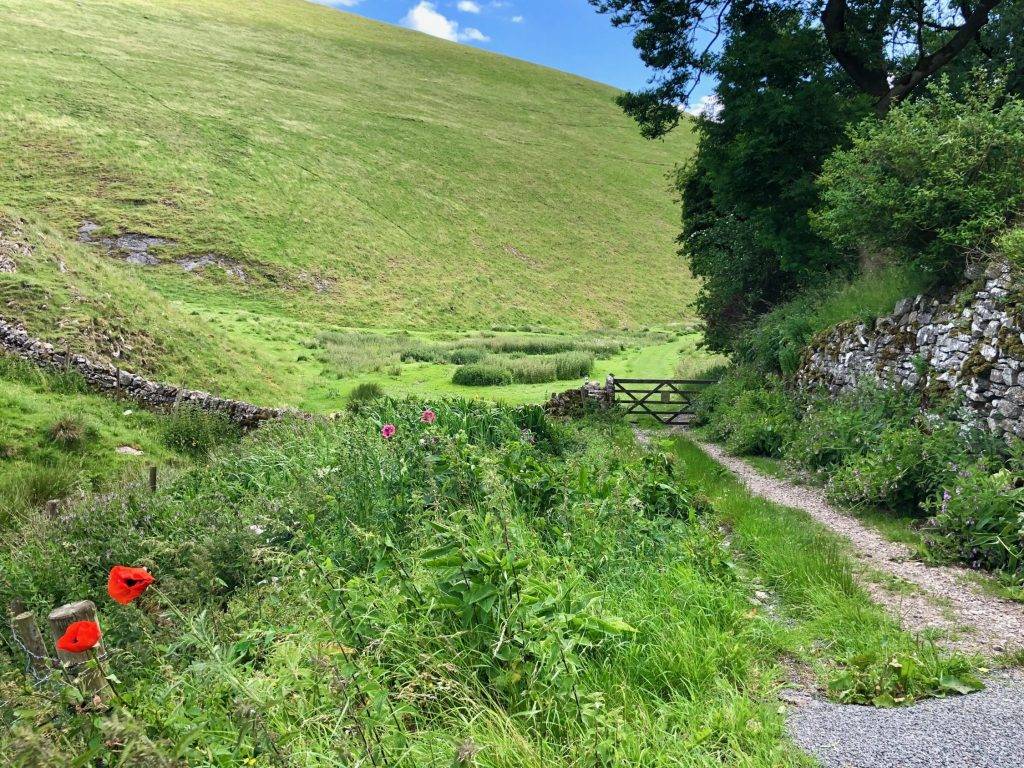
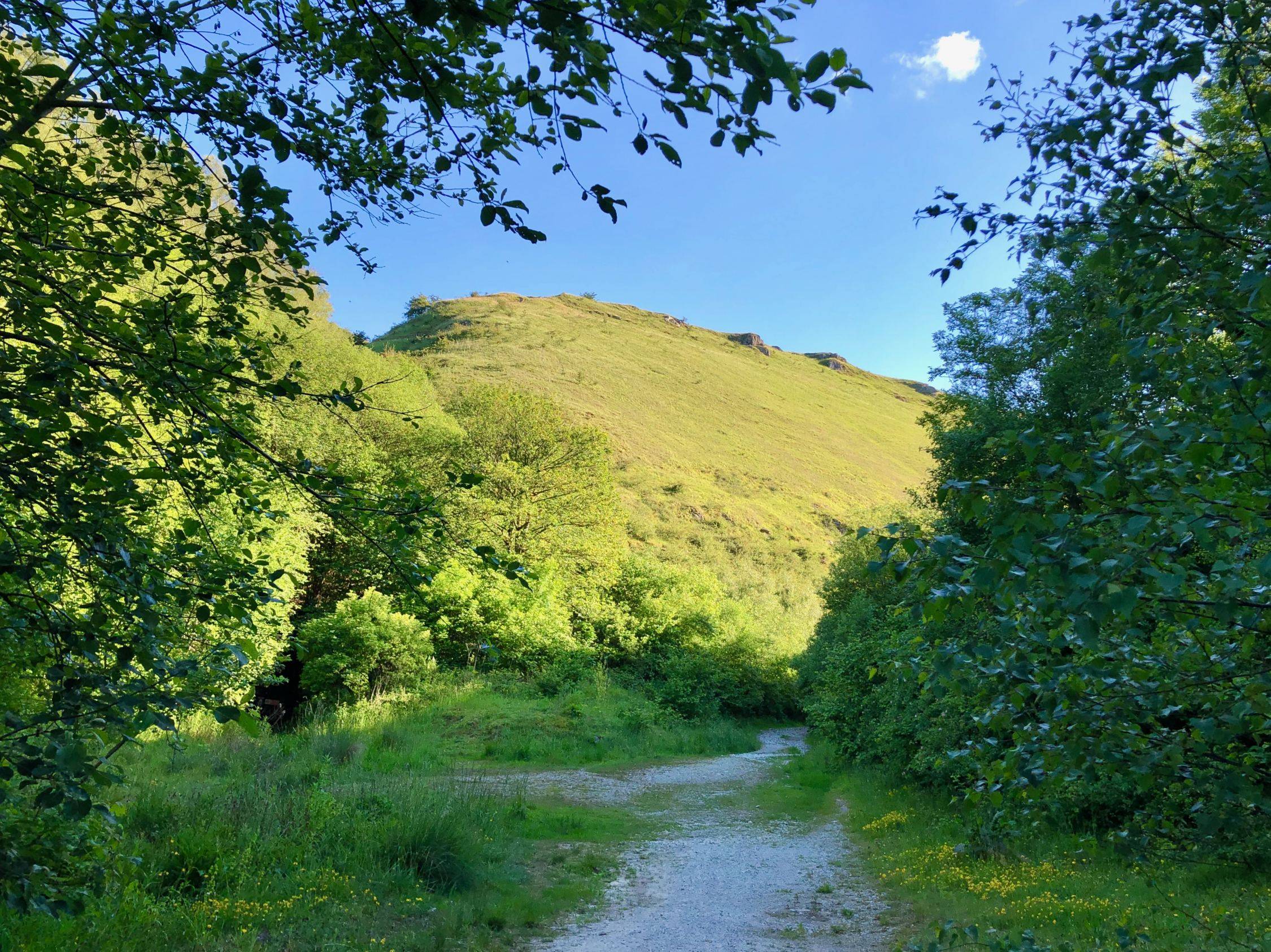
12. Go through a wide gate at the end of the track and into the quiet, pretty Manifold Valley. The grassy path is obvious as it follows the course of the valley floor, with high slopes to both sides.
13. After approx. 500 metres look out for a narrow public footpath on the right that heads up through trees, away from the main path. Follow this tree-lined path uphill and through a gate. At the top of the hill the path bends to the right, again through trees, to emerge after a short distance behind the tea room at Wetton Mill and back to your start point.


