image

The Peak District Blog


An inspiring Peak District Blog from the folks at the #1 Peak District destination website, Let’s Go Peak District. You will find news, inspiration, facts and lots more… lots, lots more, such as walks in every Peak District county, bike rides, Peak District Voices from those live and work in the Peak District National Park. The Let’s Go Peak District website categorises and makes finding information easy, so some good places to start may be our really popular…


Peak District Blog categories: Best Days Out in the Peak District | Peak District Voices | Peak District Villages | Peak District Walks & Trails | Peak District Press Releases


Hayfield via Kinder Edges (9 miles)
Let's Explore 5-10 miles Derbyshire Walks Peak District Walks

Hayfield via Kinder Edges (9 miles)

Kinder Edges from Hayfield Walk Hayfield Walk Details Distance:  9.4 miles Time:  3-4 hours Terrain:  Challenging, uneven, some rock scrambling, hill trails Accessibility:  Some steep sections, rock scrambling, many stiles Start and Finish: Kinder Road, Hayfield - Postcode SK22 2HS - Grid Ref SK 04057 86825 Hayfield Walk Circular Introduction This Hayfield walk takes you to the highest point in the Peak District, via some of the most spectacular scenery.  Kinder Scout is a vast moorland plateau with views to Manchester and Staffordshire, and on clear days, as far as Snowdonia in Wales. The route also takes you past Kinder Downfall, the highest waterfall in...
Read More
Edale
Peak District Towns and Villages

Edale

Edale The pretty village of Edale is surrounded by probably the most stunning scenery in the whole of the Peak District National Park.  It is circled by the towering slopes of Kinder Scout to the north, the Great Ridge of Mam Tor to the south, Win Hill to the east and Dalehead to the west. Edale is also known to many as being the start or end point of Britain’s most famous long distance hiking trail, the Pennine Way. The Pennine Way was the first National Trail in England and is one of the UK’s most famous long-distance walks. Opened on 24th April 1965, it...
Read More
Ashford-in-the-Water
Peak District Towns and Villages

Ashford-in-the-Water

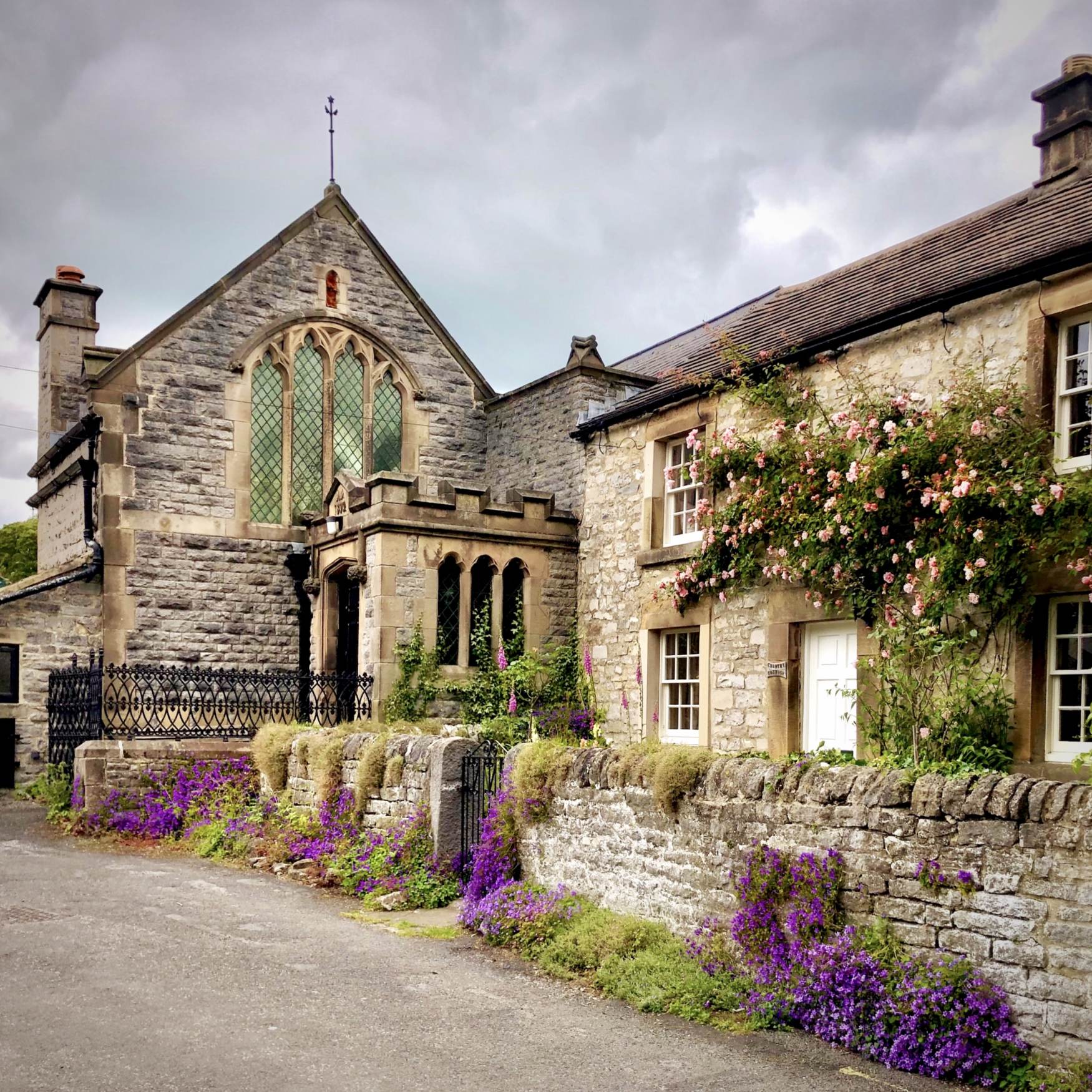
Ashford-in-the-Water Beautiful Ashford-in-the-Water If you’re looking for a perfect chocolate-box village to visit in the Peak District National Park, you'd be hard pressed to find one as lovely as Ashford-in-the-Water. It has everything that a country village needs: an idyllic riverside setting, complete with a medieval bridge, pretty limestone cottages, narrow lanes, a tearoom and cosy country pubs. Beautiful village lanes The records of Ashford-in-the-Water date back to the 10th Century. In the Domesday Book of 1086 it was referred to as Aisseford, the name deriving from Ash Tree Ford or River.  In contrast to its peaceful ambience today, Ashford-in-the-Water was once home to a...
Read More
Tideswell
Peak District Towns and Villages

Tideswell

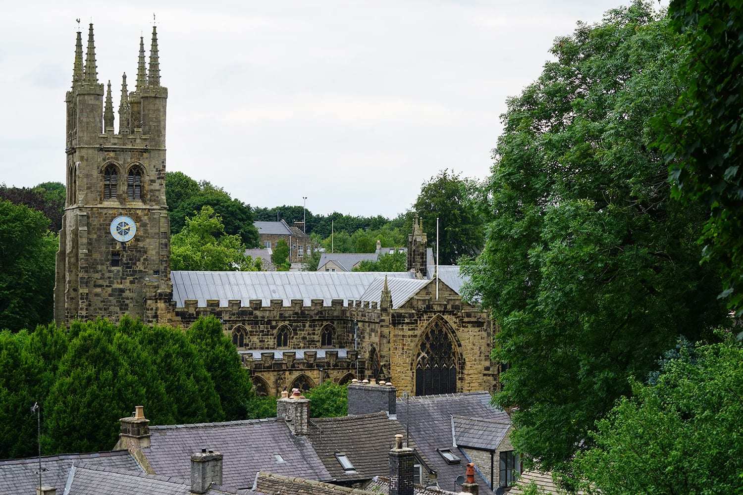
Tideswell   Tideswell is a large village in the heart of the White Peak. It has a great selection of independent shops, pubs and cafes, and is surrounded by some of the most beautiful limestone uplands in the area.  Its magnificent church is known as the Cathedral of the Peak, and rightly so. History Tideswell is a village with a rich history. It dates back to pre-Roman times and was mentioned in the Domesday Book of 1086, when it was part of the parish of Hope.  It owed its early wealth in the Middle Ages to lead mining and wool production, and its prosperity is...
Read More
Ladybower Reservoir Walk (5.5 miles)
Let's Explore 5-10 miles Accessible Walks Derbyshire Walks Peak District Bike Rides Peak District Walks

Ladybower Reservoir Walk (5.5 miles)

Ladybower Reservoir Walk a great circular of 5.5 miles, a walk around Ladybower Reservoir, this walk is suitable for Ladybower walks pushchair circular walk.
Read More
Matlock Bath
Peak District Towns and Villages

Matlock Bath

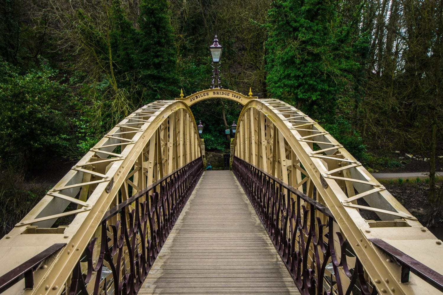
Matlock Bath was developed as one of England’s first true tourist destinations.  It occupies a beautiful position in a limestone gorge on the River Derwent, and boasts attractive riverside gardens and steep wooded hillsides. Matlock Bath has been a popular tourist attraction since the late 17th Century, when the healing properties of its warm spa waters were first discovered.  Access to the area was improved in the 18th Century, and by the 19th Century Matlock Bath was a place for society’s finest to visit. The town is still a wonderful place to visit, with a long street of shops, cafes, amusement arcades and places of...
Read More
Matlock
Peak District Towns and Villages

Matlock

Although not strictly within the boundary of the Peak District National Park, Matlock and its close neighbour Matlock Bath are both beautiful towns with a wealth of sights and attractions to keep the whole family entertained. Hall Leys Park Surrounded by wooded hillsides and set on the River Derwent, Matlock is a lovely town to explore.  It has plenty of independent, quirky shops, particularly on Dale Road, as well as a wide choice of cafés, pubs and restaurants. At its centre is the extensive Hall Leys Park, which has river walks, flower gardens, a small boating lake, tennis courts, and a great children’s play area....
Read More
The White Peak Walk (30 miles)
Derbyshire Walks Let's Explore More than 10 miles Peak District Walks

The White Peak Walk (30 miles)

The White Peak Walk Day one SK041785 Take Ridge Lane up south-west to its top, then paths south of west over to Errwood Reservoir dam. Cross the dam and take a path on the right, then a roadside path to the road top. Follow the ridge path to Shining Tor. SJ994737 Take the path down south-east to an unnamed top (Stake Side, about 530m). Follow track then fence south to the road near the Cat and Fiddle Inn. Opposite the inn, a track, then open moor, leads south to Whetstone Ridge. SK001709 Follow Cumberland Brook down south-west to the road at the valley floor. Pass Clough House farm, cross a second lane, and take a path down-valley above woods. After Banktop, this turns directly uphill to Shutlingsloe summit....
Read More
Millers Dale Bike Ride (21 miles)
Let's Explore Peak District Bike Rides

Millers Dale Bike Ride (21 miles)

Location details Caves and dry river valleys are a common feature of the White Peak area, as well as many mines and quarries, now closed. The multi-use recreational Monsal Trail runs along an old railway line that used to connect London to Manchester, and interesting historical features, such as viaducts, still exist. The terrain is best ridden when dry as it gets muddy easily. Start/finish Miller’s Dale station car park (grid ref SK 138/733, postcode SK17 8SN). Getting there Miller’s Dale is east of Buxton. From the A6, turn north at Blackwell on the B6049. Turn left in the village of Miller’s Dale (signposted to...
Read More
Buxton
Peak District Towns and Villages

Buxton

Buxton As the Gateway to the Peak District, the historic spa town of Buxton should feature in the itinerary of every visitor to this area.  It has something for everyone, with stunning Georgian and Victorian architecture, beautiful parks, quirky shops, top-class theatre, and fantastic dining. For the kids there are caves to wonder at, woodland trails to explore, and a Go Ape experience with thrilling aerial rope walks. Places to see The Romans settled in Buxton from around 78AD, naming it Aquae Arnemetiae, meaning the Spa of the Goddess of the Grove, and it has been renowned for the healing properties of its spa waters ever since....
Read More


Let’s Go Peak District is always looking for interesting articles about the Peak District National Park, so get in touch with us to share your ideas.


[widgets_on_pages id=”Widgets for Blog”]

0
    0
    Your Cart
    Your cart is emptyReturn to Shop