


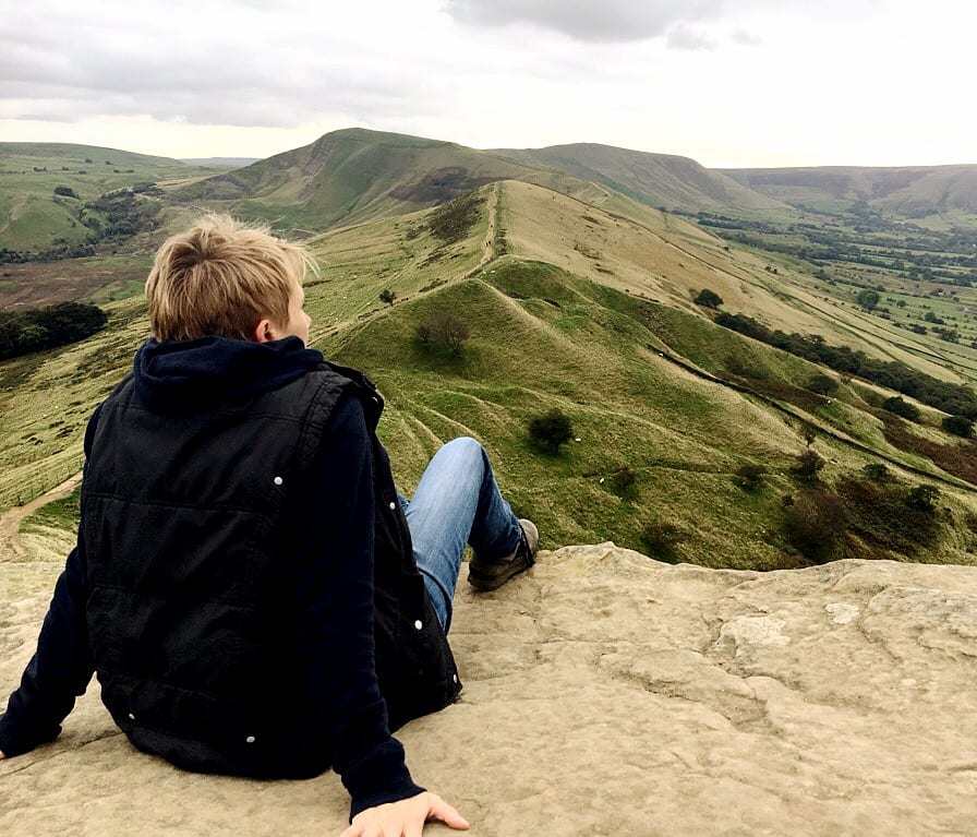
A Visit to Edale
Visit Edale, a picturesque village nestled in arguably the most stunning scenery in the Peak District National Park, surrounded by the towering slopes of Kinder Scout, the Great Ridge of Mam Tor, Win Hill, and Dalehead. This small but perfectly formed village boasts pretty stone cottages, charming cafes, campsites, and two beloved pubs, The Old Nag’s Head and The Rambler Inn. Famous as the start (or end) point of Britain’s most iconic long-distance trail, the 268-mile Pennine Way, Edale is a paradise for hill-walkers and trail-runners. With wild uplands, mighty gritstone summits, moorland streams, and waterfalls in every direction, it’s the perfect base for exploring the very best of the Peak District.
Edale
The pretty village of Edale is a great place to spend a day. It’s surrounded by arguably the most stunning scenery in the whole of the Peak District National Park, with the towering slopes of Kinder Scout to the north, the Great Ridge of Mam Tor to the south, Win Hill to the east and Dalehead to the west.
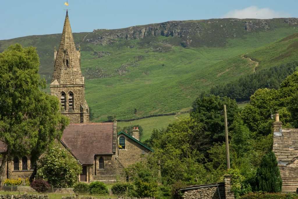
Edale village is small but perfectly formed, with lanes of pretty stone cottages, a couple of cafes, and a number of campsites. There are two very popular and well-loved pubs in the village – The Old Nag’s Head and The Rambler Inn. Both serve great food and drink, and have cosy, comfortable accommodation for anyone wishing to stay longer. And why wouldn’t you?!
As well as the village itself there are also many hamlets, known as booths, that make up this area, including Upper Booth, Barber Booth and Nether Booth. Booths were originally established in the 13th Century as cattle farms. When the train line that linked Sheffield to Manchester was opened in 1894, the railway station close to the area then known as Grindsbrook Booth was renamed Edale, and the name came to be used for all the settlements in this area.
The village is well known to many as being the start or end point of Britain’s most famous long distance hiking trail, the Pennine Way, which starts right next to The Old Nag’s Head pub and runs for 268 miles to Kirk Yetholm in the borders of Scotland. The whole area is great for hill-walking and trail-running; you can head off in pretty much any direction and explore wild, beautiful uplands, with mighty gritstone summits, moorland streams and waterfalls.
How Do I Get to Edale?
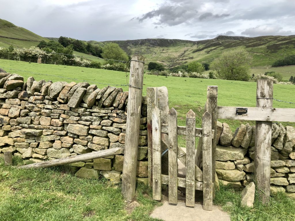
Edale is located in the heart of the Peak District in Derbyshire, signposted off the A6187 in Hope. The postcode of the Visitor Information Centre is S33 7ZA. There is a large pay & display car park at the start of the village close to the railway station.
Find out more
To find out more, click on the button below:
If the stunning scenery and the start of the Pennine Way at Edale have inspired you to explore more, the Peak District offers endless walking opportunities. The dramatic Stanage Edge is a must-visit with its wild gritstone escarpment offering unsurpassed views of the Hope Valley. Mam Tor is another iconic peak providing spectacular views over both the Hope Valley and the Edale Valley. Kinder Scout is the highest point in the Peak District and offers awe-inspiring views, while the beautiful village of Castleton is nearby with its show caverns and Peveril Castle. Discover more routes at our Walking Trails Guide.
