

About Hayfield
Hayfield
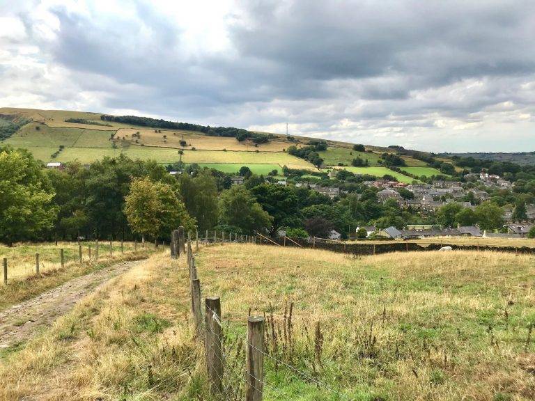
The lovely village of Hayfield lies in the valley of the River Sett, at the foot of Kinder Scout, on the very edge of the Peak District National Park. Hayfield is an ancient village, with evidence of inhabitation since pre-Roman times. It is recorded in the Domesday Book of 1086 as ‘Hedfelt’, part of the Royal Forest of the Peak. Despite its isolated location it was an important settlement, most probably because it was situated on an ancient packhorse route between Cheshire and Yorkshire and the line of a former Roman road between Buxton and Glossop.
View Hayfield →Find your way here
Where is Hayfield?
Map © OpenStreetMap contributors
Address
Hayfield, High Peak, UK
Let’s walk
Walks near Hayfield
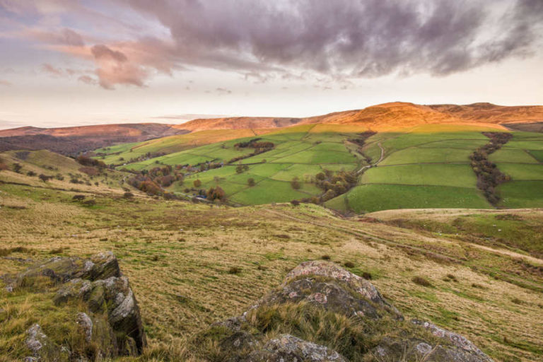
Edale to South Head Circular (10 Miles)
Explore this walk →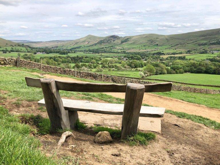
Edale to Mam Tor (7.5 miles)
Explore this walk →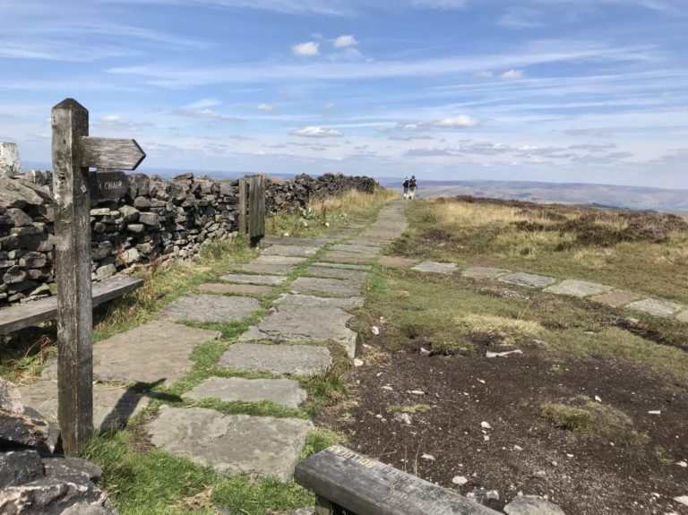
Easy Trig Walk for Kids
Explore this walk →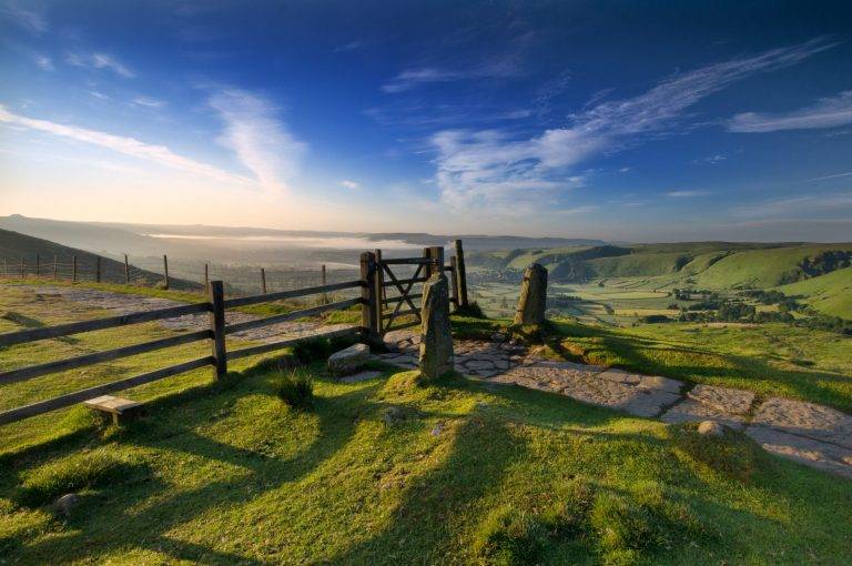
Castleton Circular Walk via Mam Tor (5.5 miles)
Explore this walk →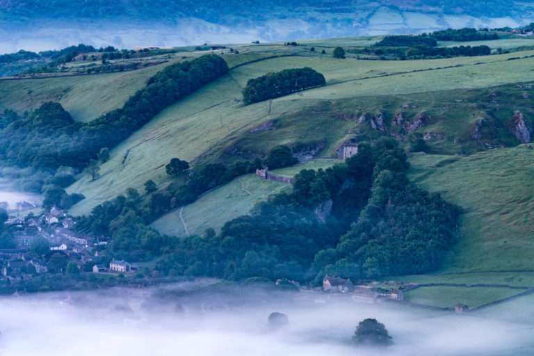
Castleton and Bradwell Moor Circular (7 miles)
Explore this walk →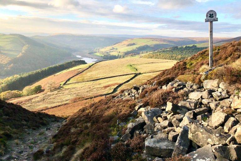
Derwent Edge Walk (9 miles)
Explore this walk →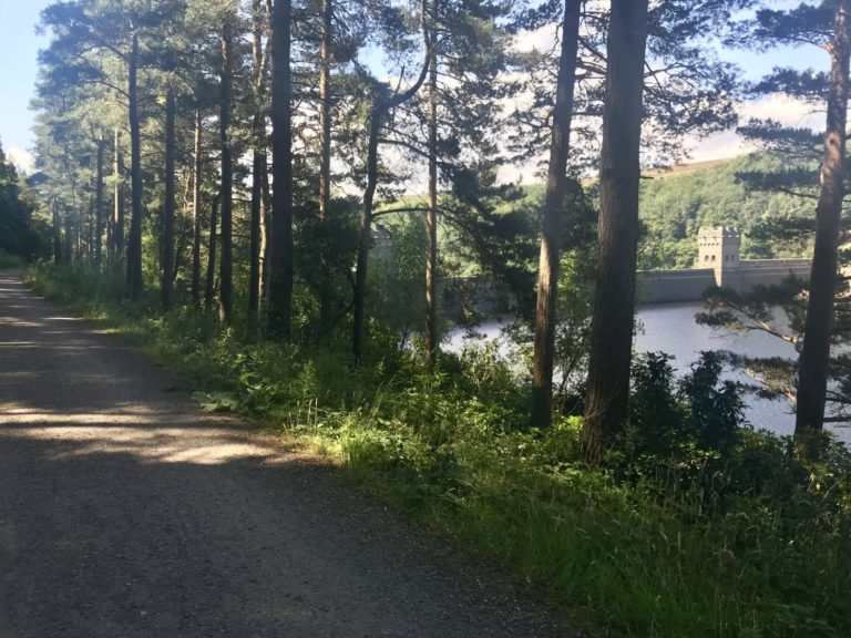
Derwent & Howden Reservoirs Walk/Bike Ride (10 miles)
Explore this walk →Let’s visit
Explore this part of the Peak District
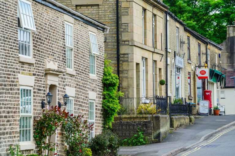
Whaley Bridge
Explore Whaley Bridge →Let’s see what’s on
Peak District events
Looking for something else to add to your visit? See what’s coming up across the Peak District.


More from Let’s Go Peak District
Peak District guides
Practical guides and inspiration to help you make more of your time in the Peak District.
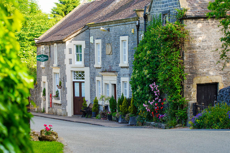
Peak District Villages & Towns
Read guide →
Peak District Ancient Sites: Your Complete Guide
Read guide →
Peak District Family Attractions: Your Complete Guide
Read guide →