Details :
Beautiful Dove Stone Reservoir Walk
Distance 4.1 miles
Time 2-3 hours
Terrain Full Route: field paths, hill trails and well-made tracks;
Accessible Route: well-made metalled and level stony tracks
Accessibility Full Route: some uneven terrain, gates, step stiles;
Accessible Route: well-made metalled and level stony tracks, gates
Start and End Point Nearest Postcode OL3 7NE | /// spirit.wreck.century
Map Ordnance Survey Explorer OL1

Introduction :
Beautiful Dove Stone Reservoir Walk
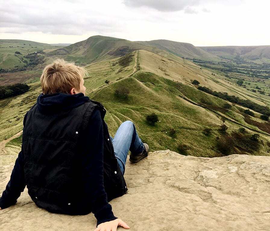
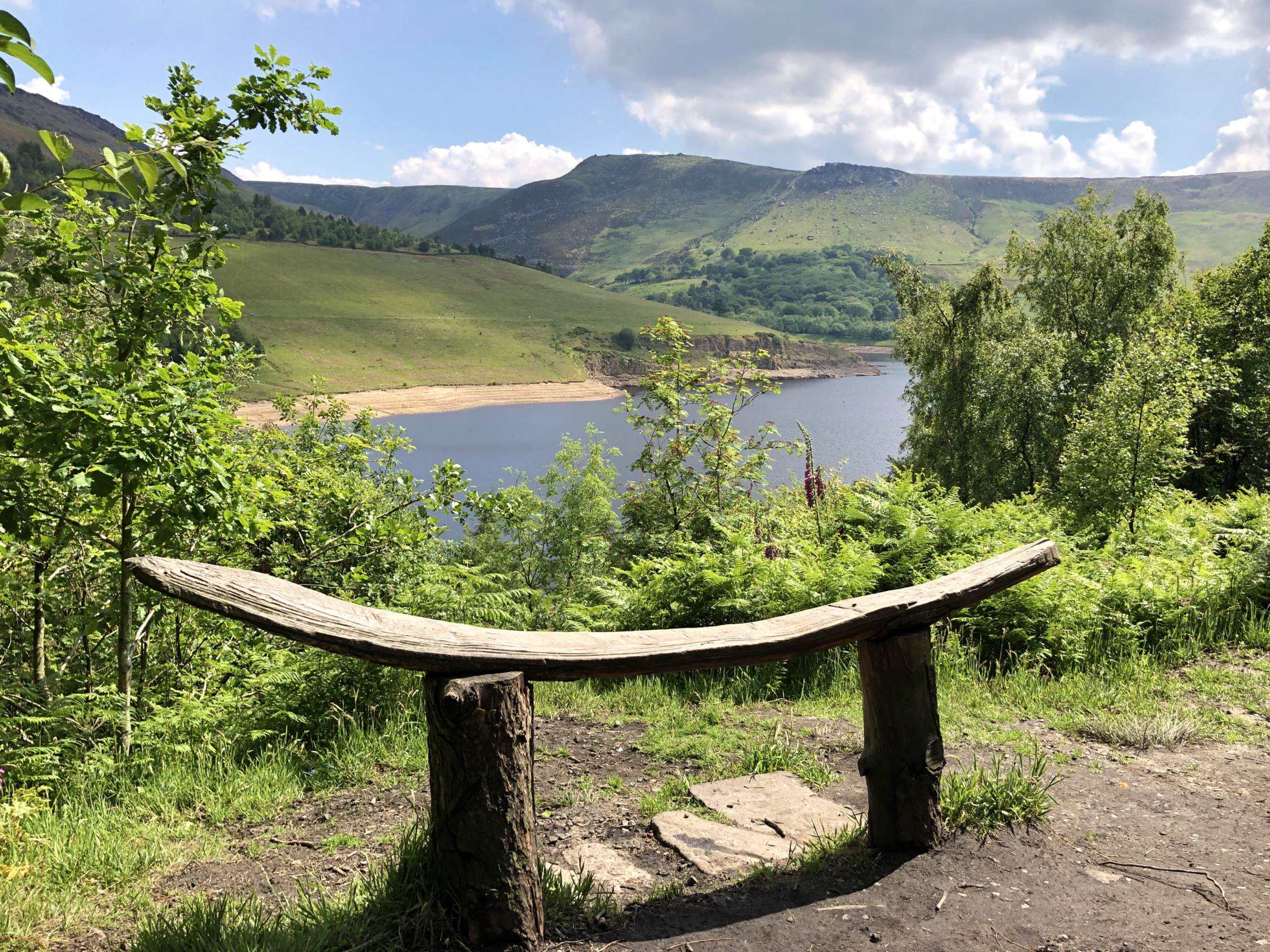
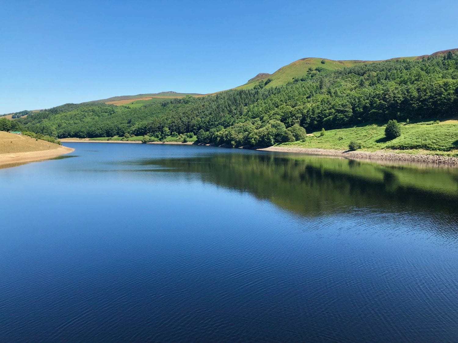
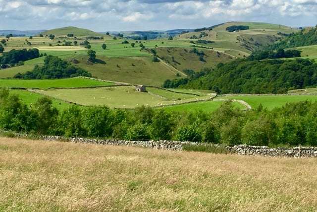
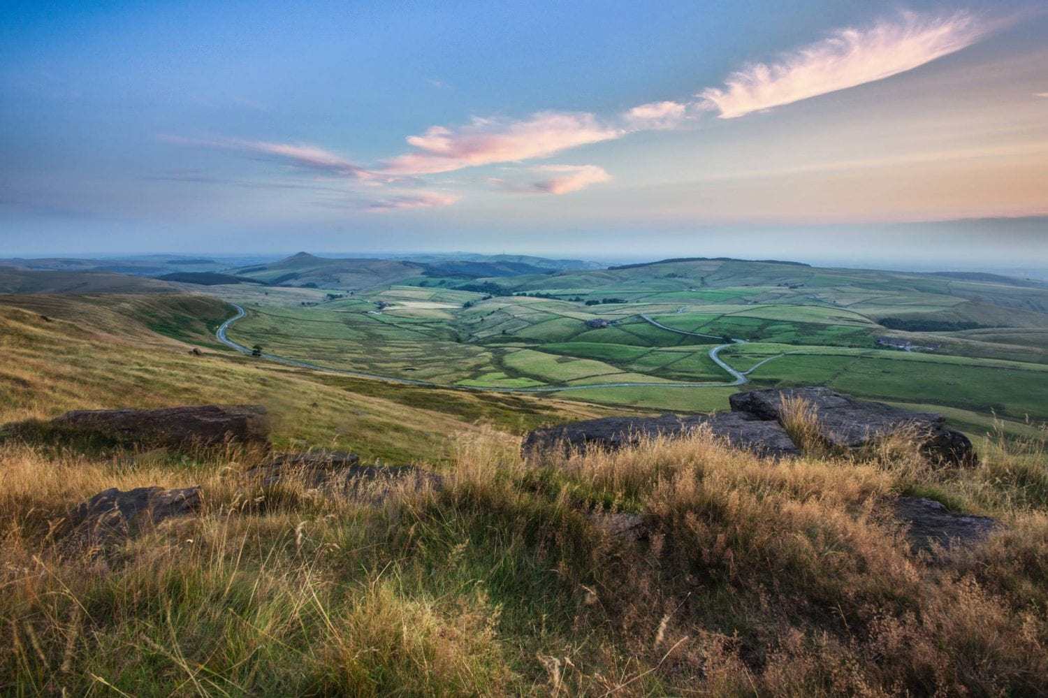
This beautiful Dove Stone Reservoir Walk takes you briefly into the stunning Chew Hills and moors of Dove Stone Moss, and then returns for an easy circuit of the lovely Dove Stone Reservoir, with fabulous open views of this beautiful area to the far north west of the Peak District National Park.
This is a walk of 4.1 miles. There is some rough terrain with gates and step stiles along part of the walk, although the route can be altered easily to make this an accessible trail for those with bikes, prams, pushchairs or off-road wheelchairs. There is ample parking at the start of the walk (fees apply) and public toilets. There are no refreshments en route although there are picnic benches, and there is a pub (The Clarence) that serves great food in nearby Greenfield. Allow around 2-3 hours to complete this walk at a moderate pace.
Instructions :
Beautiful Dove Stone Reservoir Walk
1. Park at the main Dove Stone Reservoir car park (OL3 7NE) on Bank Lane off the A635 Holmfirth Road. From the car park, walk in a south-easterly direction, past the public toilet block, to start walking anti-clockwise around the reservoir.
2. To follow the full route, walk past the Sailing Club on your left hand side and soon afterwards look for a track to a farm on your right. Follow this pleasant track up into the hills with beautiful views of the reservoir behind you.

2A. To follow the accessible route, continue past the sailing club and keep following the main track around the reservoir.
3. On reaching the farm, turn almost immediately left to go through a small white hand gate beside a wooden farm gate. Follow the path through the fields, keeping to the left of a low stone wall and fence. Again, there are superb views over the reservoir and surrounding hills to your left.
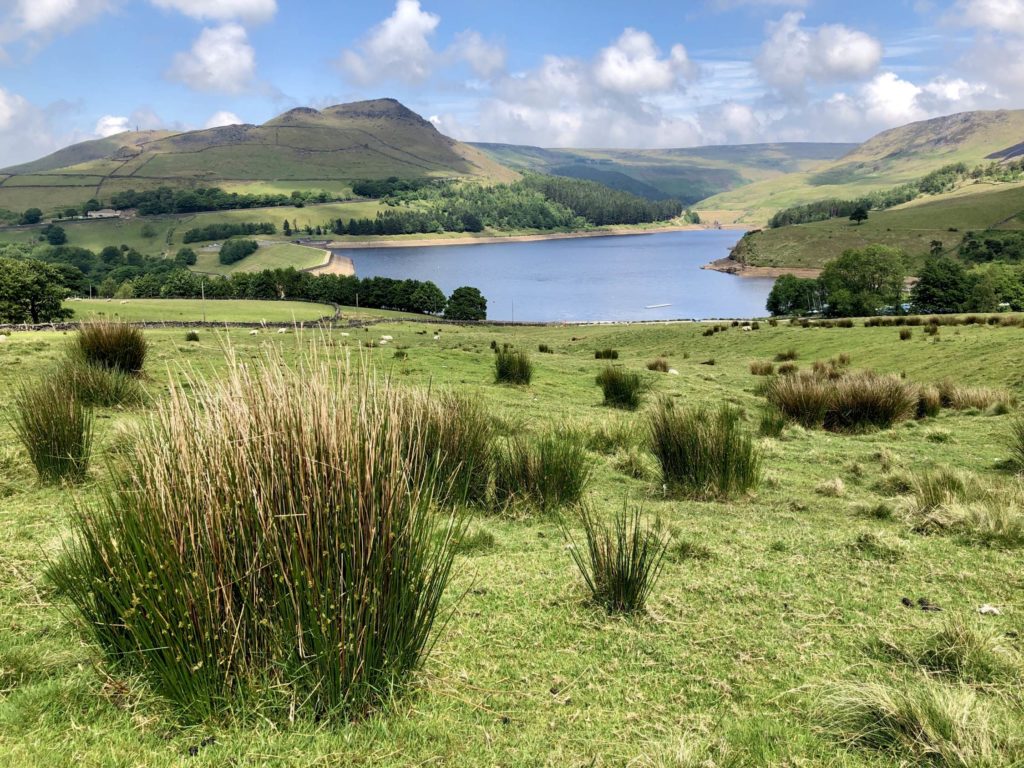
4. At the corner of the field, cross over a step stile in a stone wall to enter a pretty area of woodland known as Chew Piece Plantation. Almost immediately you’ll see an obvious T-junction of paths. Turn right and head slightly uphill away from the reservoir.
5. After approx 200 metres, a well-made path, The Oldham Way, joins from the right. Turn left to follow The Oldham Way through the trees.
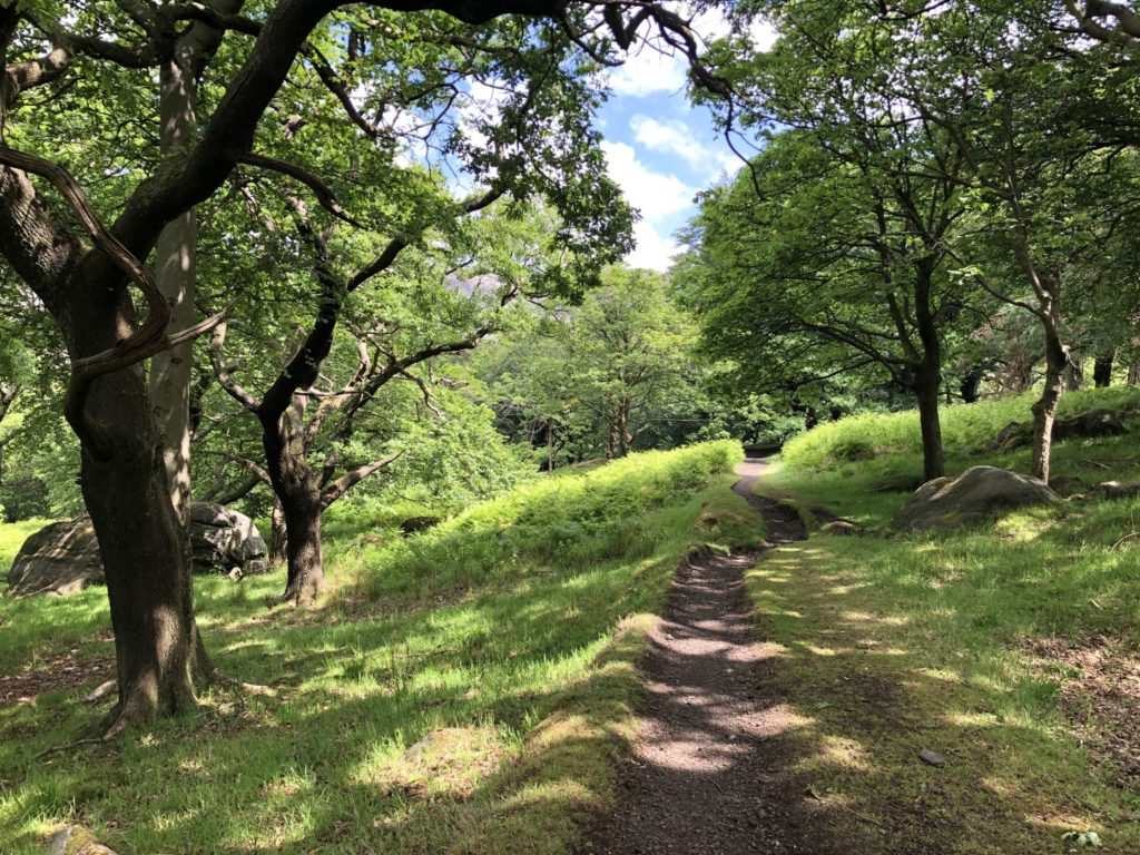
6. Keep following this path as it emerges onto an open hillside with beautiful views ahead. Cross over a stile, still following The Oldham Way. The path is easy to follow, although the terrain is uneven and rocky in places, so take care.
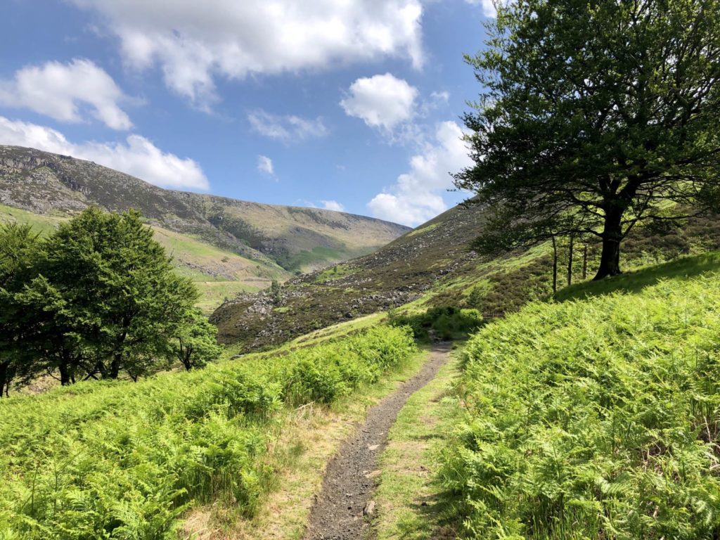
7. The path eventually crosses a footbridge over Chew Brook. Again, the terrain is uneven. After a short distance the path reaches a metalled road. Turn left to head downhill back towards the reservoir. Go over the stile beside a wide gate and keep following the road down through the Chew Hills.
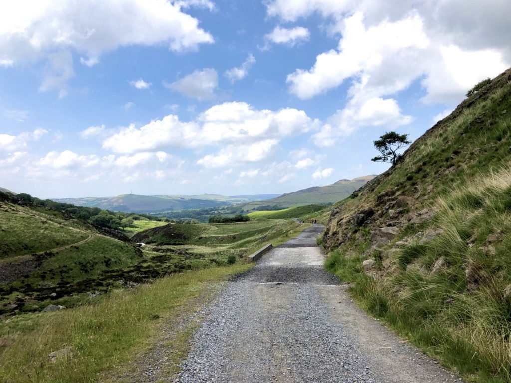
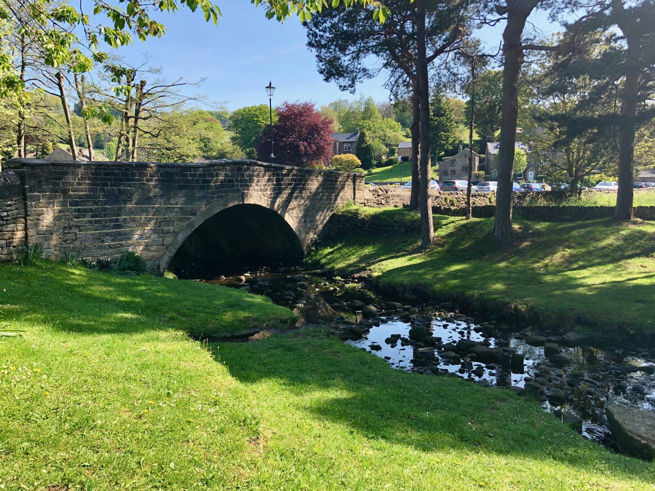
8. The road eventually reaches a wide bridge over the brook. Just before the bridge, turn right on another metalled road to follow the sign to Ashway Gap. The road soon gives way to a level, stony track which leads around the reservoir, with the reservoir to your left.
8A. If you’re following the accessible route, turn left immediately after the wide bridge over the brook, to follow a metalled road signposted to Ashway Gap. The road soon gives way to a level, stony track which leads around the reservoir, with the reservoir to your left.
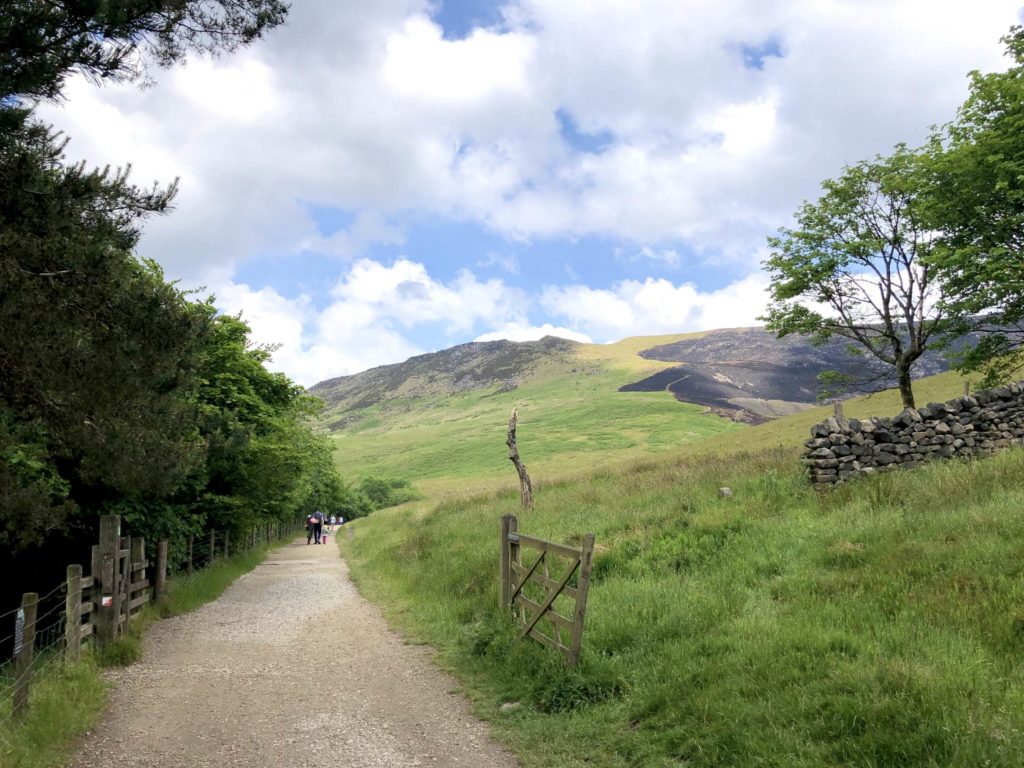
9. Continue following the track around the reservoir, with beautiful views in all directions. There’s a picnic area on your left at Ashway Gap after approx 400 metres, if you’re needing a break. Look out for the stepped weir on your right that runs down from the moors above on Ashway Moss.
9A. Continue following the accessible route on the track around the reservoir, with beautiful views in all directions. There’s a picnic area on your left at Ashway Gap after approx 400 metres, if you’re needing a break. Look out for the stepped weir on your right that runs down from the moors above on Ashway Moss.
10. Cross over the dam wall at the head of the reservoir and then turn left, walking on a metalled road for a short distance. Almost immediately look out for a gate to a path on the left signposted Dove Stone Circular Walk. Follow this path down, to walk with the reservoir beside you on your left.
10A. Cross over the dam wall at the head of the reservoir and then turn left, following a metalled road for a short distance. Almost immediately look out for a gate to a path on the left signposted Dove Stone Circular Walk. Follow this level, stony path slightly downhill, to walk with the reservoir beside you on your left.
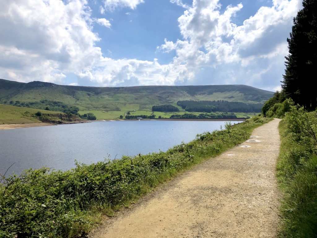
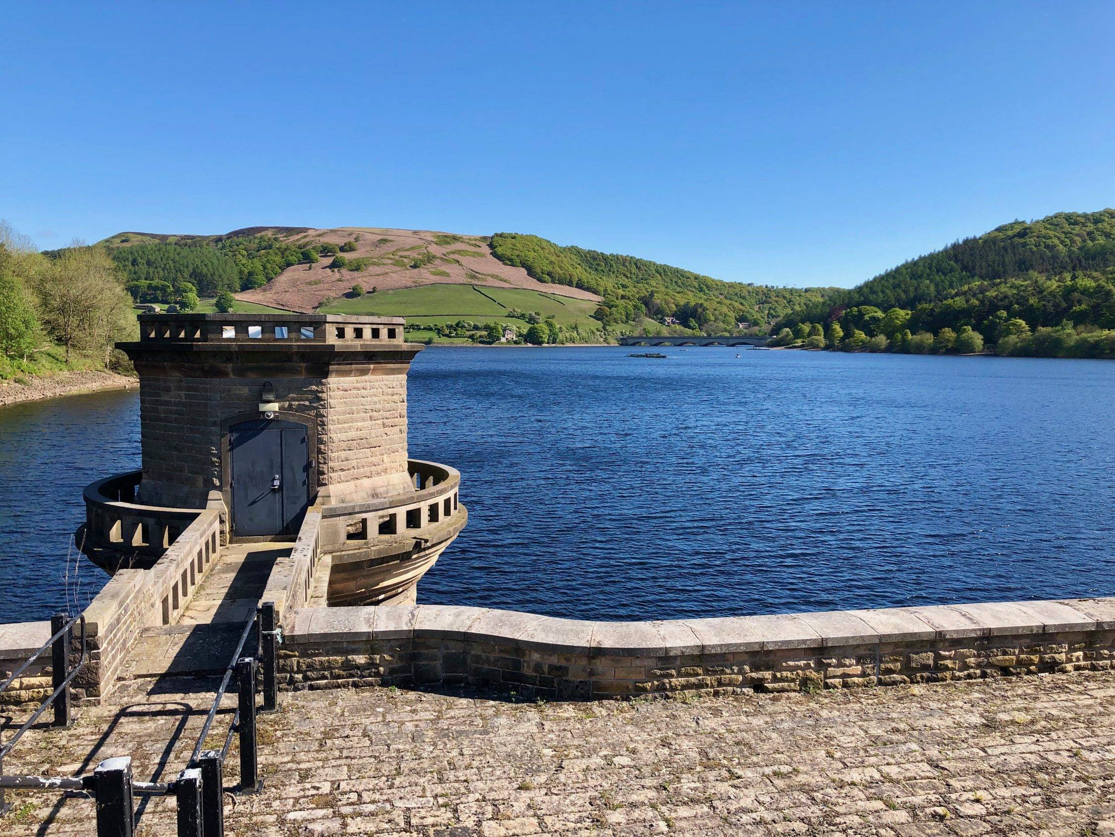
11. On reaching the end of the reservoir, follow the path left past impressive overflow machinery and over the dam wall at the foot of the reservoir. The car park and your start point is on your right.
11A. On reaching the end of the reservoir, follow the path left past impressive overflow machinery and over the dam wall at the foot of the reservoir. The car park and your start point is on your right.


